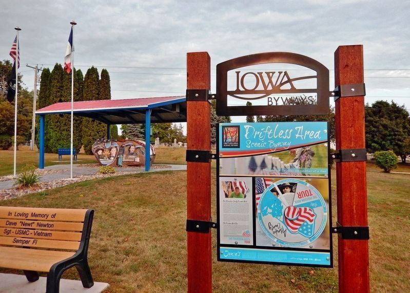
Near Rossville Road (State Highway 9) just north of 13th Avenue Southeast (Park Road), on the left when traveling north.
The Allamakee County Freedom Rock The Allamakee County Freedom Rock project was started in 2016 with an application submitted to the Freedom Rock artist, Ray "Bubba" Sorensen to have Allamakee County placed on his waiting list. . . . — — Map (db m232607) HM WM
On Allamakee Street, on the right when traveling north.
This building was completed in 1861 by the firm of Hale, Jenkins and Pratt at a cost of $13,655. The 40-acre townsite, including the place where the building stands, was donated by the Shattuck Family. The Allamakee County Board of Supervisors . . . — — Map (db m69527) HM
On Court Street just south of West Main Street, on the left when traveling south.
The land on which you are standing has been inhabited by Indigenous people since time immemorial. The most recent Indigenous Tribe to live here was the Ho-Chunk (Ho-chungra, Winnebago) Nation. The ancestral lands of the Ho-Chunk consists of ten . . . — — Map (db m235998) HM
Near North Mechanic Street just north of West Day Spring Lane, on the left when traveling north.
Overview The Homestead Act of 1862 made government land taken from Native Americans available for free if it was used for five years. This law allowed millions of European immigrants to settle in the prairies and woodlands of the central . . . — — Map (db m236673) HM