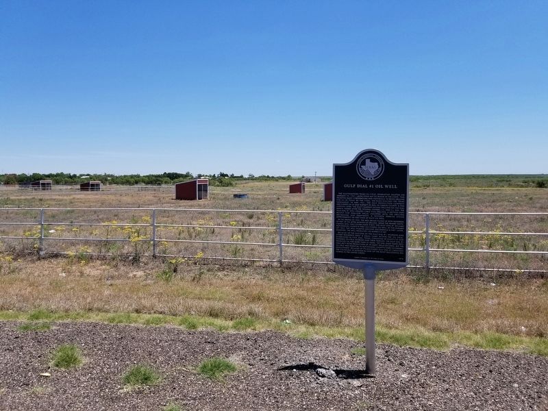
On Highway 207 at Lantelme Lane, on the right when traveling north on Highway 207.
The southeastern Texas oil field, Spindletop, erupted on January 10, 1901, launching an oil boom in the state. This prompted many corporations and individuals to begin drilling for oil in Texas. By the 1920s, the rush reached the Texas Panhandle. . . . — — Map (db m150741) HM
Geologist Charles Gould founded the University of Oklahoma Geology Department in 1900, which was the first accredited school dedicated to petroleum geology. He was recruited by the Roosevelt administration as part an ongoing assessment of the . . . — — Map (db m200536) HM
On Sheppard Road at Tidal Street, on the right when traveling north on Sheppard Road.
A native of Missouri, Samuel Burk Burnett came to Texas with his family soon after the Civil War. He married Ruth Loyd of Fort Worth in 1870, and in partnership with her father, Martin B. Loyd, established the famous Four Sixes (6666) Ranch in 1875. . . . — — Map (db m287403) HM
On Matador Avenue, on the left when traveling east.
Surrounded by an iron picket fence with a brick entry, the Sacred Heart Catholic Cemetery is a reminder of those who have come before us. The White Deer Land Company donated five acres of land for a cemetery on March 4, 1913. The deed was recorded . . . — — Map (db m150750) HM
On State Highway 207 4 miles south of State Highway 136, on the left when traveling south.
The Panhandle's first oil well, Gulf Burnett No. 2, was struck by the Gulf Production Company on May 2, 1921, on the 6666 Ranch of S. B. Burnett. The prediction of oil in this area by U.S. geologists in 1904 and the discovery of natural gas nearby . . . — — Map (db m93761) HM
On South Main Street at Broadway Street (Texas Highway 207), on the right when traveling south on South Main Street.
In 1880s, capital of Panhandle area. Settled when slaughter of buffalo sent Indians to live on reservations. Terminus of Santa Fe Railway, 1887. Here immigrant trains brought colonists, who plowed old Indian range into wheat fields and civilization. . . . — — Map (db m55889) HM
On Elsie Avenue (State Highway 207) at East 5th Street, on the right when traveling south on Elsie Avenue.
The Niedringhaus brothers of St. Louis sent lumber by ox-cart from Dodge City and built this square house on their “N Bar N” Ranch here in Carson County in the mid-1880s. In 1887 a railroad official occupied the pioneer cottage while the . . . — — Map (db m55892) HM
On Main Street at Genoa Lane (Nevada Route 206), on the right when traveling north on Main Street.
Panel One:
Utah Territory
The area now making up the state of Nevada was acquired by the United States after the Mexican-American War. This newly acquired land was generally labeled as unorganized territory until 1850. The State of . . . — — Map (db m227650) HM
Thin black lines indicate changes in relevance. Between each pair of lines entries are ordered geographically but all have the same relevance.
* Inflectional forms of words are their plurals, singulars, and possessives as well as gramatical tenses and similar variations.