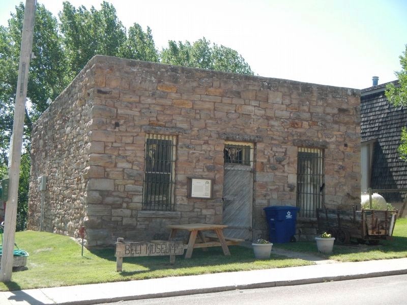
On Castner Street (State Road 331) near 5th Street, on the right when traveling north.
Lewis and Clark named nearby Belt Butte for its girdle of rocks and, in 1877, John Castner named his town Belt. Coal brought Castner here, and Fort Benton was the first market for his Castner Coal Company. Then, in 1889, the Boston and Montana . . . — — Map (db m143649) HM
On U.S. 87 at Paul J. Erickson Memorial Highway (U.S. 89) when traveling west on U.S. 87.
The scenic Highwood Mountains, visible on the skyline to the northeast, are composed of resistant volcanic rocks which tower above the relatively soft surrounding sedimentary rocks. The mountains contain an unusual abundance of a dark igneous rock . . . — — Map (db m143648) HM
On 2nd Avenue Northwest at 10th Street Northwest, on the right when traveling west on 2nd Avenue Northwest.
Irish-born Timothy Collins followed the gold stampedes to Montana but soon turned to law and politics. For a time in the 1870s he was the only attorney practicing in Meagher County. Elected to the territorial legislature several times, Collins was a . . . — — Map (db m143677) HM
On State Highway 308 0.1 miles west of Scotch Coulee Road, on the right when traveling west.
The Smith Mine is the site of the worst underground coal mine disaster in Montana history. The decaying buildings across the coulee are a memorial to the 74 men who died in the mine on the morning of February 27, 1943. Smoke pouring from the . . . — — Map (db m190113) HM
Thin black lines indicate changes in relevance. Between each pair of lines entries are ordered geographically but all have the same relevance.
* Inflectional forms of words are their plurals, singulars, and possessives as well as gramatical tenses and similar variations.