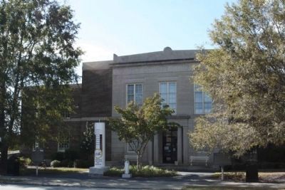
On South Peterson Avenue, on the right when traveling south.
Coffee county was created by an act of the Georgia legislature Feb. 9, 1854, and made up of portions of Clinch, Ware, Irwin and Telfair counties. Named for Gen. John Coffee, of Telfair county, noted as an Indian fighter, planter and Congressman. . . . — — Map (db m24293) HM
On Peterson Avenue South (U.S. 441) at East Ward Street (Georgia Route 32), on the left when traveling south on Peterson Avenue South.
was entered on the National Register of Historic Places by the United States Department of the Interior under provisions of the National Historic Preservation Act of 1966 December 10, 1982 — — Map (db m183746) HM
On South Main Street (U.S. 441) at West Smith Avenue, on the right when traveling south on South Main Street.
Atkinson County was created by an act of the Georgia legislature in 1917, out of lands previously in Clinch and Coffee Counties.
The county was organized Jan. 1, 1918. The first officers were J.W. Roberts, Ordinary; Wiley M. Sumner, Clerk . . . — — Map (db m106274) HM
Near Barley Drive west of Sandtown Road, on the left when traveling west.
Georgia's coast stretches for approximately 100 miles from the Savannah River in the north to the St. Marys River in the south.
Separating the mainland from the Atlantic Ocean is a series of barrier islands. These islands are several miles . . . — — Map (db m301252) HM
Thin black lines indicate changes in relevance. Between each pair of lines entries are ordered geographically but all have the same relevance.
* Inflectional forms of words are their plurals, singulars, and possessives as well as gramatical tenses and similar variations.