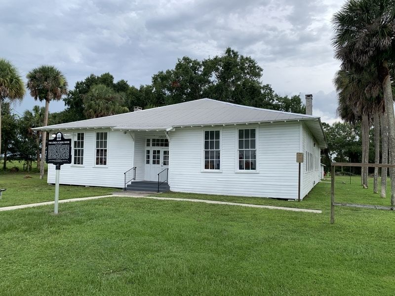
On Blessings Avenue at U.S. 98, on the right when traveling east on Blessings Avenue.
The first school house in the Lorida community, the Sunnyland School, was built on this site in 1925. A 1933 hurricane destroyed the school, and the Civilian Conservation Corps rebuilt it using the original plans and identical materials. The school . . . — — Map (db m229355) HM
Near Manatee Avenue, on the right when traveling west.
Florida's endemic species are plants and animals found nowhere else in the world. One example is the endangered Florida goldenaster whose range consists of five Florida counties: Pinellas, Hillsborough, Manatee, Hardee, and Highlands Counties. . . . — — Map (db m275612) HM
On Park Loop Drive 0.4 miles west of Hammock Road (County Road 634), on the right when traveling west.
In 1881, Jonathan Skipper settled in this forest known as “Hooker’s Hammock.” He and wife Letitia, purchased claim to this property, cleared land for their home, planted orange trees, and built livestock holding pens. He also gave five acres of . . . — — Map (db m299192) HM
On South Commerce Avenue south of South Orange Street, on the left when traveling south.
In honor of The U.S.S. Highlands (APA 119) and Her Gallant Crew For service in the Pacific during WWII donated by The Citizens of Highlands County Dedicated October 5, 1993 — — Map (db m157289) WM
On Davids Drive east of Ohio Route 134, on the left when traveling east.
Before and during World War II, the aviation industry was vulnerable
to adverse weather conditions, particularly thunderstorms. In 1945,
Congress mandated the nation’s first large-scale, scientific study of
thunderstorms. The Thunderstorm Project . . . — — Map (db m134868) HM
Thin black lines indicate changes in relevance. Between each pair of lines entries are ordered geographically but all have the same relevance.
* Inflectional forms of words are their plurals, singulars, and possessives as well as gramatical tenses and similar variations.