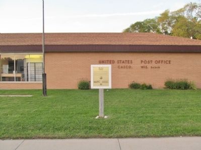
On Main Street (State Highway 54) at Church Avenue (County Highway C), on the left when traveling east on Main Street.
On this site Edward Decker, Kewaunee County's most influential early political and business leader, erected his impressive home. Nicknamed "The White House", it was built from lumber that was cut from some of the 10,000 acres of timber he owned in . . . — — Map (db m77359) HM
On Fremont Street west of Fourth Street (Wisconsin Highway 42), on the left when traveling west.
Door-Kewaunee County College
Around the turn of the previous century, it became apparent that the state normal schools were unable to supply an adequate number of teachers to meet the demand, especially in rural areas.
. . . — — Map (db m77444) HM
The jail was designed by Oshkosh, Wisconsin architect William Waters and built in 1876. The building served a dual purpose of being both the sheriff's home and also the county lock-up. It was in use continuously until 1969. That year a county . . . — — Map (db m77344) HM
On County Road DK 0.1 miles east of County Road N, on the right when traveling west.
Architecture-History Studies
Section 106 of the National Historic Preservation Act of 1966 (NHPA) requires federal agencies to take into account the effect their projects might have on historic properties such as buildings and landscapes as . . . — — Map (db m145889) HM
On Ahbapee State Trail 0.2 miles east of River Road (County Route E).
Why is the fence here? The fence is to limit access to a contaminated area. In the early days the Wisconsin Department of Natural Resources (WDNR) was contacted by a hunter that an area within the boundaries of the wildlife refuge was devoid of . . . — — Map (db m39114) HM
On County Road DK east of County Road N, on the left when traveling east.
What Does the Vandermissen Brickworks Site Represent?
On October 8, 1871, the Peshtigo fire destroyed many of the Belgian farms and small towns along the west side of the Door Peninsula.
The Belgians rebuilt after the fire using bricks . . . — — Map (db m80223) HM
On Bay Settlement Road north of VanLaanen Road, on the right when traveling north.
While the WIS 57 corridor is rich in Euroamerican history, prior to the 19th Century, the Native American presence is the major historical record on the Door Peninsula. For perhaps 12,000 years, Indian peoples have lived on the Door Peninsula and . . . — — Map (db m143329) HM
On East Main Street (State Highway 147) 0.1 miles east of North State Street (County Road B), on the left when traveling east.
In 1847, Daniel Smith, a lumberman from New York, plotted a small village around his dam and sawmill on the river here, naming it for his friend Old Chief Mishicott. Old Chief Mishicott, a Potawatomi leader, is also the namesake of the Town of . . . — — Map (db m226255) HM
Thin black lines indicate changes in relevance. Between each pair of lines entries are ordered geographically but all have the same relevance.
* Inflectional forms of words are their plurals, singulars, and possessives as well as gramatical tenses and similar variations.