
2 entries match your criteria.
Entries Containing All of the Phrases «nance county» AND «nebraska»
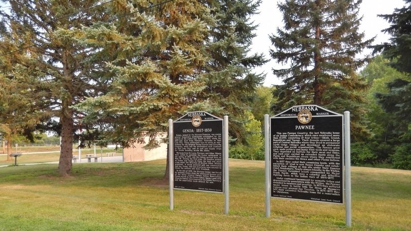
By Cosmos Mariner, August 10, 2021
Pawnee Marker
RANKED BY RELEVANCE
1 ► Nebraska, Nance County, Genoa — 18 — Pawnee —  |
| Near South Park Street (State Highway 39) just south of Ewing Avenue, on the right when traveling south. | |||
| This was Pawnee Country, the last Nebraska home of an Indian Confederacy which once numbered more than 10,000, consisting of four tribes — Skidi, Grand, Republican and Tapage. Their domain covered a large part of Central Nebraska where they lived in . . . — — Map (db m179389) HM | |||
| 2 ► Nebraska, Dodge County, Fremont — Pawnee Villages — |
| On U.S. 77 0.1 miles south of Riverview Road, on the left when traveling south. | |||
| Before the Pawnee Indians were placed on a reservation, they located their last earthlodge villages on these nearby bluffs. Pa-hŭk’ hill, one of the five sacred places of the Pawnee, was also near here. The villages were occupied from . . . — — Map (db m287986) HM | |||
Thin black lines indicate changes in relevance. Between each pair of lines entries are ordered geographically but all have the same relevance.
* Inflectional forms of words are their plurals, singulars, and possessives as well as gramatical tenses and similar variations.
Nov. 15, 2026