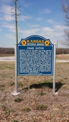
On Pratt Road (U.S. 59) at 160th Road (Kansas Highway 146), on the right when traveling north on Pratt Road.
The first Indian mission and school in present Kansas was established in September, 1824, about five miles west of this marker. Benton Pixley, the missionary, followed Chief White Hair and his band of Great Osages who had migrated from Missouri . . . — — Map (db m46198) HM
On 20th Road 5.5 miles east of Ottawa Road (U.S. 59), on the right when traveling east.
Oak Grove, District No. 20, was established in 1867 in Lincoln Township, Neosho County, the same year that the two neighboring counties of Neosho and Labette were formed from what was originally the single county of Dorn. Oak Grove was thus one of . . . — — Map (db m229749) HM
On Main Street at 3rd Street, on the right when traveling south on Main Street.
This is the oldest surviving courthouse designed by George P Washburn of Ottawa. Before coming to town, Washburn had worked for the Kansas City architectural firm of Cross and Taylor where he supervised construction of Union railroad depots . . . — — Map (db m67586) HM
On Santa Fe Avenue at Little Turkey Creek, on the right when traveling south on Santa Fe Avenue.
Located about three miles northeast of Chanute on the eastern riverbank at a ford now known as Brown Wells Dam the town of Osage City sprang up in 1856. A man named John Beck and others came to the area from the Tioga River basin in New York. Beck . . . — — Map (db m92301) HM
Thin black lines indicate changes in relevance. Between each pair of lines entries are ordered geographically but all have the same relevance.
* Inflectional forms of words are their plurals, singulars, and possessives as well as gramatical tenses and similar variations.