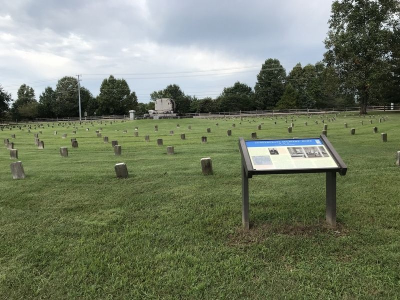
Near Rachels Lane east of Lebanon Pike (U.S. 70), on the right when traveling east.
Residents of the Tennessee Confederate Soldiers’ Home gained admission by proving that they served in the Confederate army honorably and that they could no longer provide for themselves. For most, an approved pension application or military record . . . — — Map (db m182543) HM
On Graham Drive at Welcome Circle on Graham Drive.
This dog-trot cabin was originally built in the 1870s on the Parks family estate near Clayton, Tennessee. Used to preserve history since the 1970s, this cabin was donated by Janet Parks LaMarche in 1979 to the Obion County Museum in memory of her . . . — — Map (db m273663) HM
On Graham Drive at Welcome Circle on Graham Drive.
Built around 1890, this one-room schoolhouse is believed to be one of the last of its kind in Obion County, Tennessee. It once stood about six miles west of here, behind the home of Denziul Maupin on Maupin Road in Union City. Schoolhouses like this . . . — — Map (db m273647) HM
On Graham Drive at Welcome Circle on Graham Drive.
Donated by the Hicks family of Graves County, Kentucky, this one-room cabin was originally built in the early 1870s as a family home and once had a narrow staircase leading to the upstairs loft where children slept. When a new house was built in . . . — — Map (db m273665) HM
A tremendous earthquake struck this region on December 16, 1811, beginning a three-month series of violent quakes that devastated over 40,000 square miles. Named for the largest settlement in the region, the New Madrid earthquakes altered local . . . — — Map (db m114736) HM
On East 5th Avenue at North 9th Street, on the right when traveling west on East 5th Avenue.
Born in Tennessee on December 31, 1851, James Emerson Whiteselle moved to Texas in 1870 to work in the lumber company of his uncle P. W. Ezell. In 1875 he began working in the local Carruthers Lumber Company which he later owned. Under his . . . — — Map (db m62898) HM
Thin black lines indicate changes in relevance. Between each pair of lines entries are ordered geographically but all have the same relevance.
* Inflectional forms of words are their plurals, singulars, and possessives as well as gramatical tenses and similar variations.