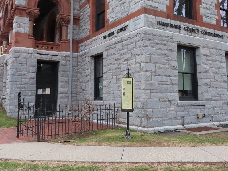
On Pleasant Street (U.S. 5) at Main Street (Massachusetts Route 9), on the right when traveling south on Pleasant Street.
Northampton is the "Shire Town" or county seat for Hampshire County. When it was officially established in 1662, Hampshire County became the fifth county of the Massachusetts Bay Colony. The county originally included all of Western Massachusetts. . . . — — Map (db m194797) HM
On Observatory Street at Geddes Avenue, on the right when traveling north on Observatory Street.
Benjamin Woodruff was born on November 26, 1744, in Hanover Township, Morris County, New Jersey. He enlisted at
age 32 and first served in 1776 as a drummer.
He later served as a Sergeant in the Morris
County, New Jersey Militia where he . . . — — Map (db m264571) HM
On Old College Road 0.5 miles south of State Highway 159, on the left when traveling south.
The Rev. Martin Ruter (1785-1838) came to Texas as a missionary for the Methodist Episcopal Church in 1837. A town called Rutersville and Rutersville College, both located here, were named in his honor.
Bishop Beverly Waugh arrived in . . . — — Map (db m183285) HM
On Interstate 88, on the right when traveling north.
The Town of Worcester (pronounced WUS-ter) occupies 47 square miles in the southeastern corner of Otsego County, New York, in the divide between the Hudson and Susquehanna watersheds. It was a Mohawk Indian hunting ground when Palatines began . . . — — Map (db m220647) HM
On Senator Warren M. Anderson Expressway (Interstate 88) 8.5 miles west of New York State Route 17, on the right when traveling west.
The Town of Worcester (pronounced WUS-ter) occupies 47 square miles in the southeastern corner of Otsego County, New York, in the divide between the Hudson and Susquehanna watersheds. It was a Mohawk Indian hunting ground when Palatines began . . . — — Map (db m314670) HM
Thin black lines indicate changes in relevance. Between each pair of lines entries are ordered geographically but all have the same relevance.
* Inflectional forms of words are their plurals, singulars, and possessives as well as gramatical tenses and similar variations.