5 entries match your criteria.
Related Historical Markers
St. Augustine City Wall & Gate
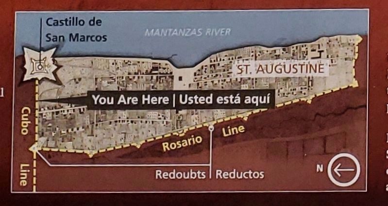
Marker detail: Fort, city and wall map
SHOWN IN SOURCE-SPECIFIED ORDER
| On South Castillo Drive (State Highway A1A) at Orange Street, on the right when traveling north on South Castillo Drive. |
| On South Castillo Drive (State Highway A1A) at Orange Street, on the right when traveling south on South Castillo Drive. |
| On Orange Street at St. George Street, on the left when traveling east on Orange Street. |
| On South Castillo Drive (Business U.S. 1) at Orange Street, on the right when traveling north on South Castillo Drive. |
| On South Castillo Drive (Business U.S. 1) at Orange Street, on the left when traveling north on South Castillo Drive. |
Jun. 16, 2024