St. Augustine in St. Johns County, Florida — The American South (South Atlantic)
Safe Haven / Refugio seguro
Castillo de San Marcos National Monument
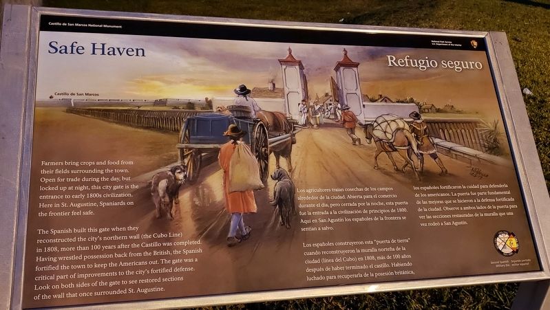
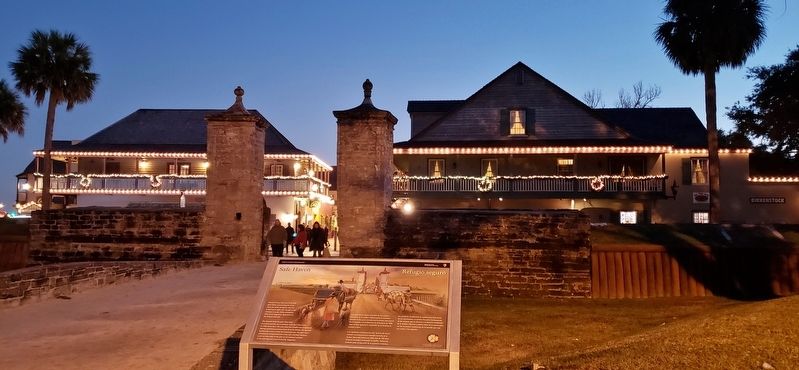
Safe Haven
Farmers bring crops and food from their fields surrounding the town. Open for trade during the day, but locked up at night, this city gate is the entrance to early 1800s civilization. Here in St. Augustine, Spaniards on the frontier feel safe.
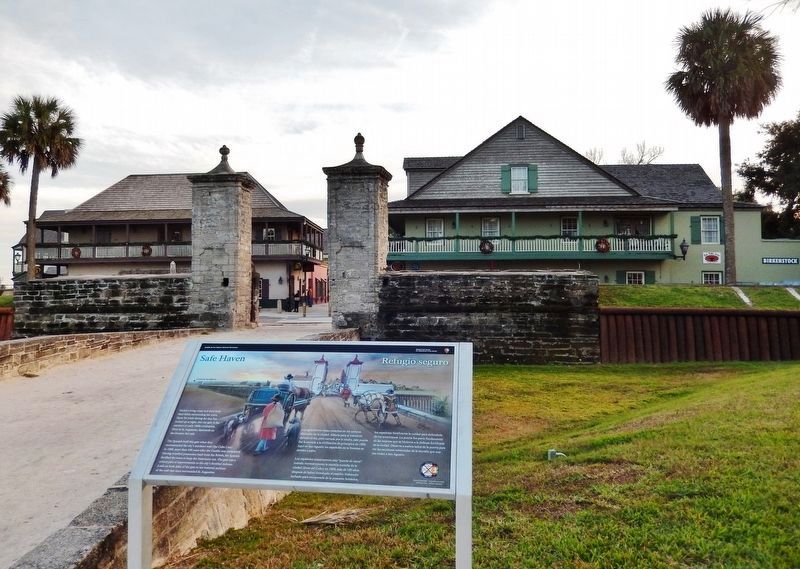
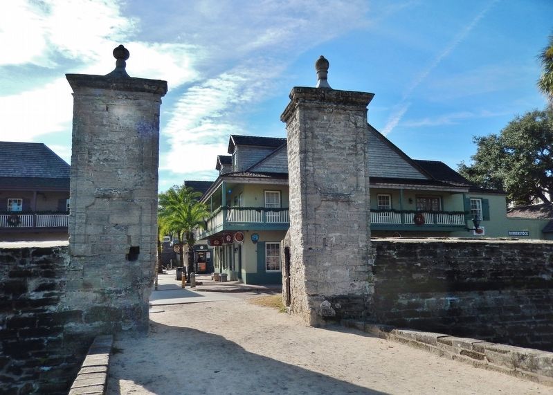
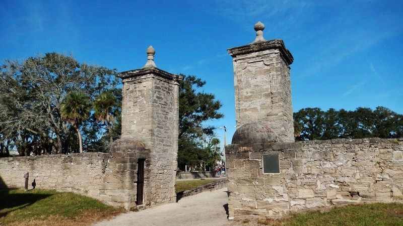
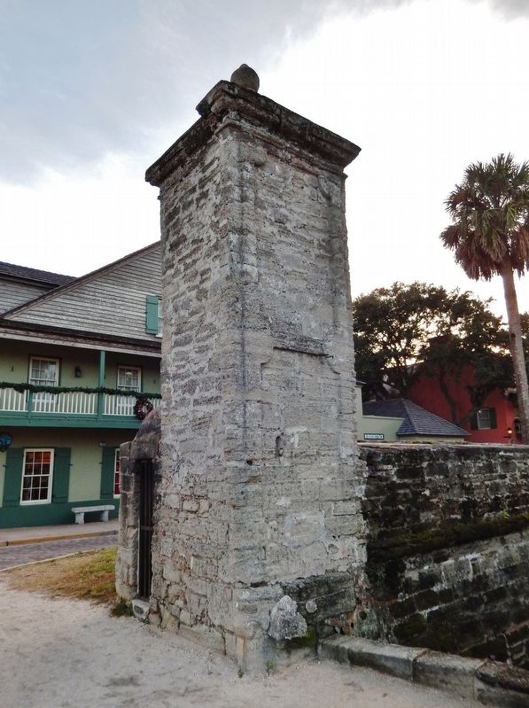
The Spanish built this gate when they reconstructed the city's northern wall (the Cubo Line) in 1808, more than 100 years after the Castillo was completed. Having wrestled possession back from the British, the Spanish fortified the town to keep the Americans out. The gate was a critical part of improvements to the city's fortified defense. Look on both sides of the gate to see restored sections of the wall that once surrounded St. Augustine.
Spanish:
Los agricultores traían cosechas de los campos alrededor de la ciudad. Abierta para el comercio durante el día, pero cerrada por la noche, esta puerta fue la entrada a la civilización de principios de 1800. Aquí en San Agustín los españoles de la frontera se sentían a salvo.
Los españoles construyeron esta "puerta de tierra" cuando reconstruyeron la muralla norteña de la ciudad (línea del Cubo) en 1808, más de 100 años después de haber terminado el castillo. Habiendo luchado para recuperarla de la posesión británica, los españoles fortificaron la cuidad para defenderla de los americanos. La puerta fue parte fundamental de las mejoras que se hicieron a la defensa fortificada de la ciudad. Observe a ambos lados de la puerta para ver las secciones restauradas de la muralla que una vez rodeó a San Agustín.
Erected 2018 by National Park Service, U.S. Department of the Interior.
Topics. This historical marker is listed in these topic lists: Colonial Era • Forts and Castles • Hispanic Americans. A significant historical year for this entry is 1808.
Location. 29° 53.882′ N, 81° 18.823′ W. Marker is in St. Augustine, Florida, in St. Johns County. Marker is at the intersection of South Castillo Drive (State Highway A1A) and Orange Street, on the right when traveling south on South Castillo Drive. Touch for map. Marker is at or near this postal address: 102 Orange Street, Saint Augustine FL 32084, United States of America. Touch for directions.
Other nearby markers. At least 8 other markers are within walking distance of this marker. This Gate Opened in 1739 (a few steps from this marker); Huguenot Cemetery (within shouting distance of this marker); The City Gate (within shouting distance
of this marker); Public Burying Ground (within shouting distance of this marker); Wall of Defense / Una ciudad amurallada (within shouting distance of this marker); The Town Wall (within shouting distance of this marker); Old Spanish Trail Zero Milestone (within shouting distance of this marker); General Biassou House (about 300 feet away, measured in a direct line). Touch for a list and map of all markers in St. Augustine.
Related markers. Click here for a list of markers that are related to this marker. St. Augustine City Wall & Gate
Also see . . . Castillo de San Marcos National Monument. National Park Service (Submitted on December 13, 2018.)
Credits. This page was last revised on August 20, 2020. It was originally submitted on December 10, 2018, by Cosmos Mariner of Cape Canaveral, Florida. This page has been viewed 368 times since then and 25 times this year. Last updated on January 1, 2019, by Byron Hooks of Sandy Springs, Georgia. Photos: 1. submitted on December 11, 2018, by Cosmos Mariner of Cape Canaveral, Florida. 2, 3, 4, 5. submitted on December 12, 2018, by Cosmos Mariner of Cape Canaveral, Florida. 6. submitted on December 11, 2018, by Cosmos Mariner of Cape Canaveral, Florida. • Andrew Ruppenstein was the editor who published this page.
