4 entries match your criteria.
Related Historical Markers
To better understand the relationship, study each marker in the order shown.
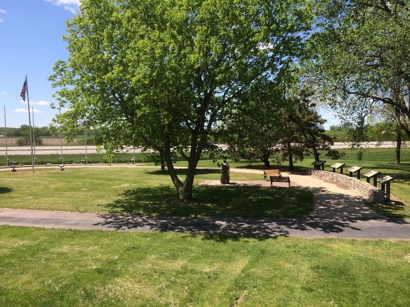
By Ruth VanSteenwyk, May 14, 2016
Lewis & Clark's Historical Markers
SHOWN IN SOURCE-SPECIFIED ORDER
| Near South Harrison Street 0.2 miles south of West Jefferson Street. Reported permanently removed. |
| Near South Harrison Street 0.2 miles south of West Jefferson Street. Reported permanently removed. |
| Near South Harrison Street 0.2 miles south of West Jefferson Street. Reported permanently removed. |
| Near South Harrison Street 0.2 miles south of West Jefferson Street. Reported permanently removed. |
Nov. 11, 2026