2 entries match your criteria.
Related Historical Markers
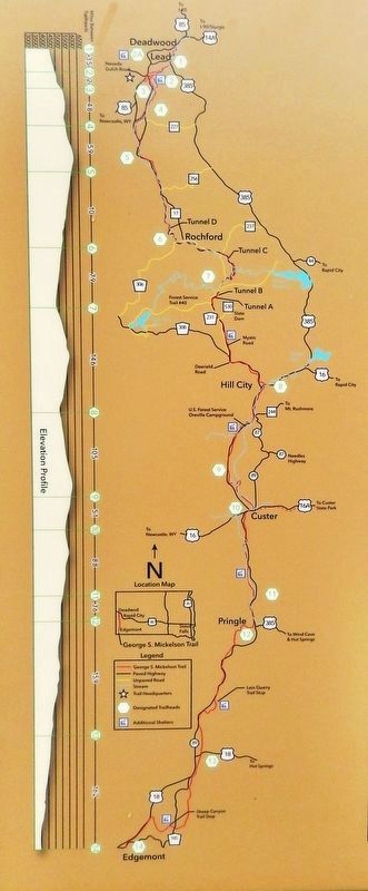
Marker detail: George S. Mickelson Trail Map
SHOWN IN SOURCE-SPECIFIED ORDER
1 ► South Dakota, Lawrence County, Deadwood — George S. Mickelson Trail —  |
| Near Charles Street (CanAm Highway) (U.S. 85) at Cedar Lane, on the right when traveling south. | |||
| 2 ► South Dakota, Lawrence County, Pluma — George S. Mickelson Trail — |
| On CanAm Highway (U.S. 85) north of U.S. 385, on the left when traveling north. | |||