3 entries match your criteria.
Related Historical Markers
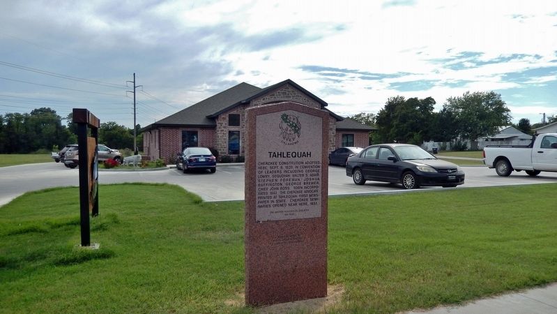
By Cosmos Mariner, September 11, 2024
Tahlequah Marker
SHOWN IN SOURCE-SPECIFIED ORDER
1 ► Oklahoma, Cherokee County, Tahlequah — 68 — Tahlequah —  |
| On West Choctaw Street just east of South Morris Avenue, on the left when traveling west. | |||
| 2 ► Oklahoma, Cherokee County, Tahlequah — Cherokee National Capitol — |
| On South Muskogee Avenue (Business U.S. 62) just north of East Keetoowah Street, on the right when traveling north. | |||
| 3 ► Oklahoma, Cherokee County, Tahlequah — Cherokee Advocate — Vol. 1. Tahlequah, Cherokee Nation, Thursday, Sept. 26, 1844, No. 1. — |
| Near East Keetoowah Street just east of South Muskogee Avenue (Business U.S. 62), on the left when traveling east. | |||