THE HISTORICAL
MARKER DATABASE
“Bite-Size Bits of Local, National, and Global History”


3 entries match your criteria.  


Related Historical Markers

The information on this marker has been distributed onto three related markers.
 
By Evan Dwyer, August 7, 2025
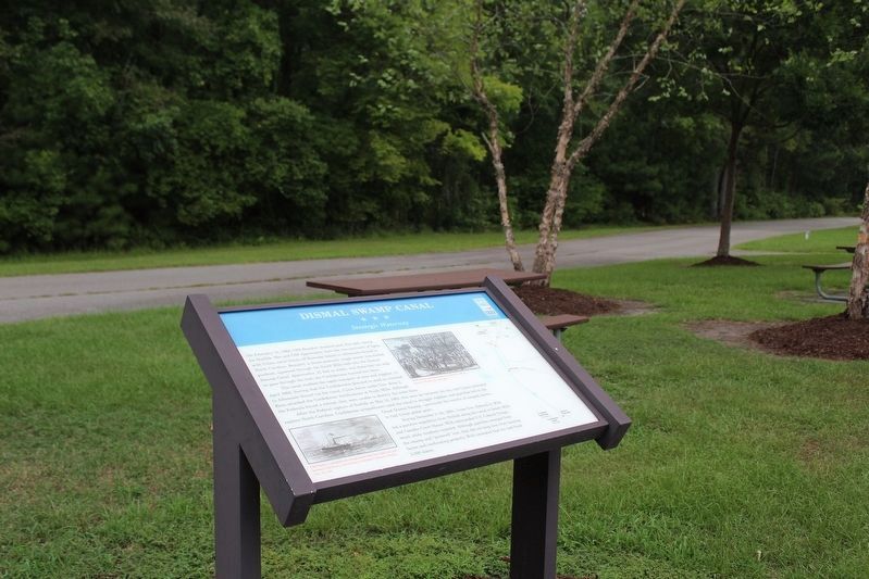
Dismal Swamp Canal Marker
SHOWN IN SOURCE-SPECIFIED ORDER
1 ► Virginia, Chesapeake — Dismal Swamp Canal — Strategic Waterway —
On Dismal Swamp Canal Trail, on the left when traveling north.
2 ► North Carolina, Camden County, South Mills — Battle of South Mills — Fight for the Canal — Burnside Expedition
On Canal Drive 0.3 miles south of Main Street (U.S. 17), on the left when traveling south. Reported permanently removed.
3 ► Virginia, Chesapeake — Wallaceton — The Canal and Three Houses —
On Dismal Swamp Canal Trail near Ballahack Road, on the left when traveling north.


CeraNet Cloud Computing sponsors the Historical Marker Database.
This website earns income from purchases you make after using our links to Amazon.com. We appreciate your support.
Paid Advertisement
Nov. 12, 2026
