6 entries match your criteria.
Related Historical Markers
These markers explain the history of the Miami Circle and Brickell Point.
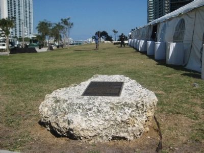
By AGS Media, March 16, 2013
The Miami Circle Marker
SHOWN IN SOURCE-SPECIFIED ORDER
| Near Brickell Avenue (U.S. 1/41) north of Southeast 5th Street, on the right when traveling north. |
| Near Brickell Avenue (U.S. 1/41) north of Southeast 5th Street, on the right when traveling north. Reported unreadable. |
| Near Brickell Avenue (U.S. 1/41) north of Southeast 5th Street, on the right when traveling north. |
| Near Brickell Avenue (U.S. 1/41) north of Southeast 5th Street, on the right when traveling north. Reported unreadable. |
| On Brickell Avenue (U.S. 1/41) south of Southeast 5th Street, on the right when traveling north. |
| On Brickell Avenue (U.S. 1/41) south of Southeast 5th Street, on the right when traveling north. Reported permanently removed. |
Nov. 11, 2026
