3 entries match your criteria.
Related Historical Markers
By Jeffrey A. Schimpff, September 7, 2009
Lost Airmen of World War II Memorial at Knollcrest Cemetery
SHOWN IN SOURCE-SPECIFIED ORDER
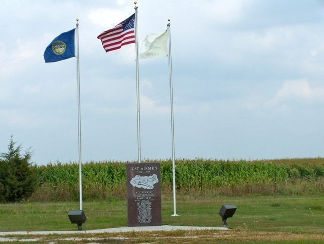
| 1 ► Nebraska, Boyd County, Naper — 453 — Lost Airmen of World War II — |
| On State Highway 12, on the right when traveling west. | |||
| 2 ► Nebraska, Thayer County, Bruning — Bruning Air Field Pilots Killed near Naper, Nebraska — August 3 1944 — |
| On State Highway 4, 6.8 miles east of U.S. 81, on the left when traveling east. | |||
| 3 ► Nebraska, Thayer County, Bruning — 397 — Bruning Army Air Field — |
| On State Highway 4, 6.8 miles east of U.S. 81, on the left when traveling east. | |||