10 entries match your criteria.
Entries Containing All of the Phrases «logan county» AND «west virginia»
This list will also include matches for inflectional* forms of the words.
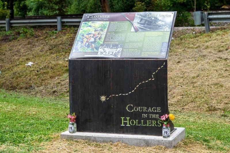
By Dylan Vidovich, September 3, 2022
Clothier Marker
RANKED BY RELEVANCE
| On Coal Valley Road, on the left when traveling east. |
| On Cherokee Road (County Route 17) 5.8 miles east of Coal Heritage Road in Northfork, on the right when traveling east. |
| On Fourth Avenue (U.S. 52) at Logan Street, on the right when traveling south on Fourth Avenue. |
| Near Lundy's Lane, on the right when traveling west. |
| On Ferrell Street at Hatfield Street, on the right when traveling north on Ferrell Street. |
| On Coal Valley Road near Blair Mountain Highway (West Virginia Route 17), on the left when traveling east. |
| Near Jerry West Highway (West Virginia Route 44) 0.5 miles south of Philips Street, on the right when traveling south. |
| On McCorkle Avenue at 86th Street, on the right when traveling south on McCorkle Avenue. |
| On Appalachian Highway, in the median. |
| On Okey L Patterson Road (West Virginia Route 612) at Scarbro Road (Local Route 1/5), on the right when traveling east on Okey L Patterson Road. |
Thin black lines indicate changes in relevance. Between each pair of lines entries are ordered geographically but all have the same relevance.* Inflectional forms of words are their plurals, singulars, and possessives as well as gramatical tenses and similar variations.
This website earns income from purchases you make after using our links to Amazon.com. We appreciate your support.
Nov. 13, 2026
