17 entries match your criteria.
New York, Ogdensburg Battlefield Trail Historical Markers
Markers highlighting the 1813 Battle of Ogdensburg, including the buildup to, and its aftermath, as well as markers dealing with the battle that are not part of the Ogdensburg Battlefield Trail.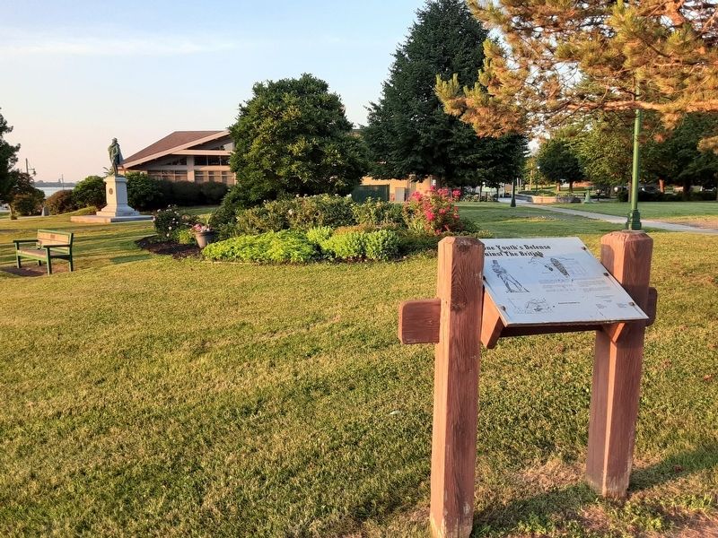
By William Fischer, Jr., June 17, 2024
A Lone Youth's Defense Against The British Marker
1 ► New York, St. Lawrence County, Ogdensburg — A Lone Youth's Defense Against The British — Ogdensburg Battlefield Trail —  |
| Near Washington Street. | |||
| 2 ► New York, St. Lawrence County, Ogdensburg — Attack On The Fort — Ogdensburg Battlefield Trail — |
| On Caroline Street at Riverside Avenue, on the left when traveling west on Caroline Street. | |||
| 3 ► New York, St. Lawrence County, Ogdensburg — Benjamin Forsyth: The Daring Commando — Ogdensburg Battlefield Trail — |
| Near Caroline Street. | |||
| 4 ► New York, St. Lawrence County, Ogdensburg — Fort Oswegatchie 1760-1796 — Staging for Attack — Revolutionary War — |
| On the Downtown Arterial (New York State Route 68) west of Commerce Street, on the right when traveling west. | |||
| 5 ► New York, St. Lawrence County, Ogdensburg — How Ogdensburgh Captured Brockville — Ogdensburg Battlefield Trail — |
| Near Washington Street. | |||
| 6 ► New York, St. Lawrence County, Ogdensburg — Ogdensburg And Forsyth: Friends Or Enemies — Ogdensburg Battlefield Trail — |
| On Washington Street at State Street ( Route 68), on the left when traveling east on Washington Street. | |||
| 7 ► New York, St. Lawrence County, Ogdensburg — Ogdensburgh And The War — Ogdensburg Battlefield Trail — |
| Near Caroline Street. | |||
| 8 ► New York, St. Lawrence County, Ogdensburg — Ogdensburg's English Period: 1760-1796 — Ogdensburg Battlefield Trail — |
| Near Washington Street. | |||
| 9 ► New York, St. Lawrence County, Ogdensburg — Phases Of The Battle — Ogdensburg Battlefield Trail — |
| On Ford Street at Caroline Street, on the right when traveling east on Ford Street. | |||
| 10 ► New York, St. Lawrence County, Ogdensburg — Sheriff Joseph York’s Stand — Ogdensburg Battlefield Trail — |
| On Riverside Avenue at State Street, on the left when traveling south on Riverside Avenue. | |||
| 11 ► New York, St. Lawrence County, Ogdensburg — The Attack On The Village — Ogdensburg Battlefield Trail — |
| On Riverside Avenue at State Street, on the right when traveling south on Riverside Avenue. | |||
| 12 ► New York, St. Lawrence County, Ogdensburg — The Battle of Ogdensburg — British Attack Across the Ice — War of 1812 — |
| On the Downtown Arterial (New York State Route 68) west of Commerce Street, on the right when traveling west. | |||
| 13 ► New York, St. Lawrence County, Ogdensburg — War of 1812 — |
| On Route 37 at Stone Church Road when traveling north on Route 37. | |||
| 14 ► New York, St. Lawrence County, Ogdensburg — What Happened To The Patriots — Ogdensburg Battlefield Trail — |
| Near Washington Street. | |||
| 15 ► Ontario, Leeds and Grenville United Counties, Prescott — Cannon — |
| Near Centre Street. | |||
| 16 ► Ontario, Leeds and Grenville United Counties, Prescott — Capture of Ogdensburg — 1813 — |
| Near Sophia Street 0.1 kilometers south of Corrine Street. | |||
| 17 ► Ontario, Leeds and Grenville United Counties, Prescott — Fort Wellington — |
| Near Vankoughnet Street close to King Street East, on the left when traveling south. | |||