5 entries match your criteria.
Related Historical Markers
These related markers are all related to high strategic artillery locations used on Evacuation Day March 17, 1776 to drive the British from Boston harbor and back-bay.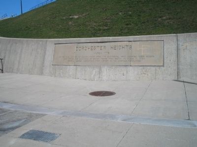
By Bill Coughlin, April 14, 2009
Marker at Dorchester Heights Nat'l Historic Site
SHOWN IN SOURCE-SPECIFIED ORDER
1 ► Massachusetts, Suffolk County, Boston, South Boston — Dorchester Heights — March 1776 —  |
| 2 ► Massachusetts, Suffolk County, Boston, Roxbury — A Revolutionary View of Boston, 1776 — Roxbury Heritage State Park — |
| 3 ► Massachusetts, Suffolk County, Boston, Roxbury — Roxbury High Fort — |
| 4 ► Massachusetts, Suffolk County, Boston, South Boston — Nook Hill — |
| 5 ► Massachusetts, Suffolk County, Boston, D Street / West Broadway — Many Forts, Many Uses — South Boston — |