Marker Logo HMdb.org THE HISTORICAL
MARKER DATABASE
“Bite-Size Bits of Local, National, and Global History”


2 entries match your criteria.  


Related Historical Markers

Nansemond Indians
 
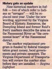
History gets an update image, Touch for more information
Courtesy of The Sun.
History gets an update
SHOWN IN SOURCE-SPECIFIED ORDER
1 Virginia, Suffolk, Chuckatuck — K-250 — Reid's Ferry
Near Godwin Boulevard (Virginia Route 10). Reported permanently removed.
2 Virginia, Suffolk, Chuckatuck — K-249 — Dumpling Island
On Goodwin Boulevard (Route 10) 0.4 miles north of Harrell Drive, on the right when traveling north.


CeraNet Cloud Computing sponsors the Historical Marker Database.
This website earns income from purchases you make after using our links to Amazon.com. We appreciate your support.
Paid Advertisement
Jun. 17, 2024