3 entries match your criteria.
Related Historical Markers
February 6, 2022
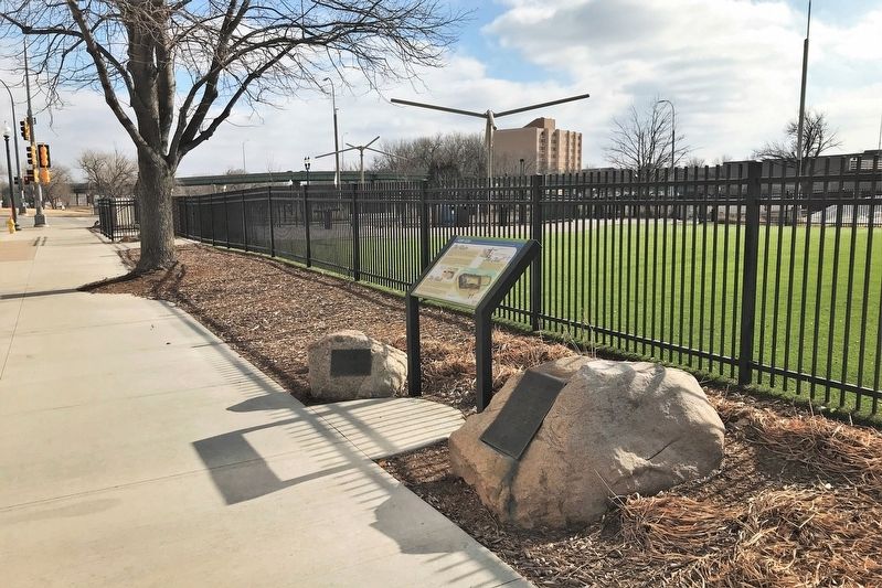
Fort Sod Marker, from the west
SHOWN IN SOURCE-SPECIFIED ORDER
| 1 ► South Dakota, Minnehaha County, Sioux Falls, Downtown — Fort Sod — |
| On East 10th Street (State Highway 42) west of South Second Avenue, on the left when traveling west. | |||
| 2 ► South Dakota, Minnehaha County, Sioux Falls, Downtown — 679 — Incident at Fort Sod — |
| On Mall Avenue at East 9th Street, on the right when traveling west on Mall Avenue. | |||
| 3 ► South Dakota, Minnehaha County, Sioux Falls, Downtown — Fort Sod — |
| On River Road, 0.1 miles north of East 10th Street (State Highway 42), on the right when traveling north. | |||