3 entries match your criteria.
Related Historical Markers
July 24, 2022
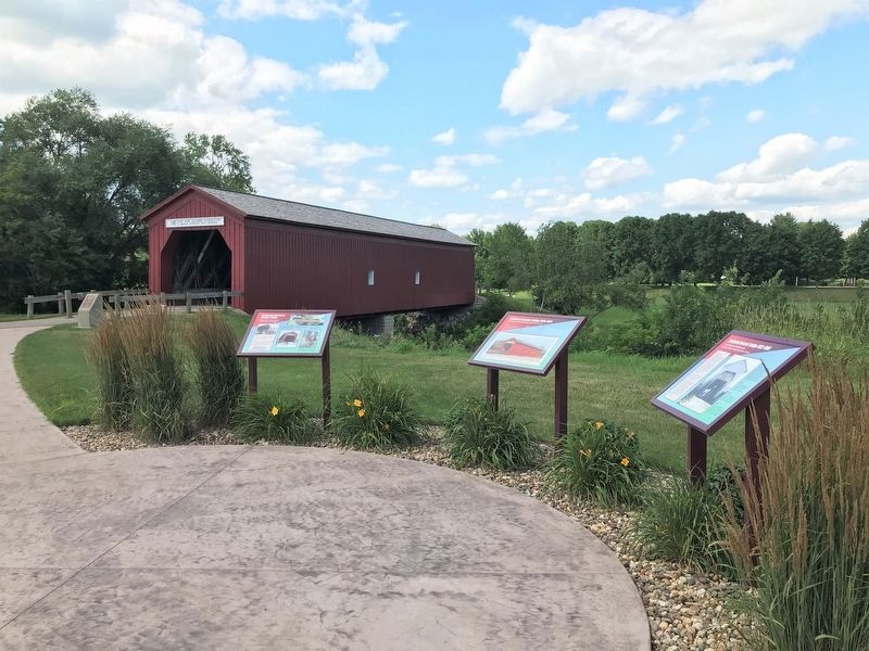
Zumbrota Covered Bridge 1932-1969 Marker (right)
SHOWN IN SOURCE-SPECIFIED ORDER
| 1 ► Minnesota, Goodhue County, Zumbrota — Zumbrota Covered Bridge 1932-1969 — |
| On West Avenue, 0.1 miles north of West 2nd Street, on the right when traveling north. | |||
| 2 ► Minnesota, Goodhue County, Zumbrota — Zumbrota Covered Bridge 1970-1997 — |
| On West Avenue, 0.1 miles north of West 2nd Street, on the right when traveling north. | |||
| 3 ► Minnesota, Goodhue County, Zumbrota — Zumbrota Covered Bridge Today — |
| On West Avenue, 0.1 miles north of West 2nd Street, on the right when traveling north. | |||