9 entries match your criteria.
Related Historical Markers
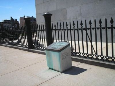
By Bill Coughlin, April 15, 2009
Marker on Boston's Freedom Trail
SHOWN IN SOURCE-SPECIFIED ORDER
1 ► Massachusetts, Suffolk County, Boston, Charlestown — Bunker Hill Monument —  |
| Near Monument Square, on the left when traveling north. | |||
| 2 ► Massachusetts, Suffolk County, Boston, Charlestown — United States Gate — 1775 ----- 1975 — |
| On Monument Sq at Monument Sq on Monument Sq. | |||
| 3 ► Massachusetts, Suffolk County, Boston, Charlestown — The Breastwork — |
| Near Monument Square. | |||
| 4 ► Massachusetts, Suffolk County, Boston, Charlestown — North-East Corner of the Redoubt — |
| Near Monument Sq. | |||
| 5 ► Massachusetts, Suffolk County, Boston, Charlestown — South-East Corner of the Redoubt — |
| Near Monument Square 0 miles north of Monument Avenue, on the left. | |||
| 6 ► Massachusetts, Suffolk County, Boston, Charlestown — The Rail Fence and Grass Line — |
| Near Monument Square. | |||
| 7 ► Massachusetts, Suffolk County, Boston, Charlestown — The Line of Rail Fence and Grass Protection — |
| On Bunker Hill St just west of Polk St, on the right when traveling west. | |||
| 8 ► Massachusetts, Suffolk County, Boston, South Boston — Dorchester Heights — March 1776 — |
| Near Thomas Park at Pacific Street, on the left when traveling west. | |||
| 9 ► Massachusetts, Suffolk County, Boston, Fort Hill — Highland Park — Also known as: Fort Hill Park — Formerly: Roxbury High Fort — |
| On Fort Avenue west of Fort Avenue Terrace, on the left when traveling west. | |||