2 entries match your criteria.
Related Historical Markers
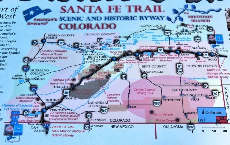
Marker detail: Santa Fe Trail Map
SHOWN IN SOURCE-SPECIFIED ORDER
1 ► Colorado, Prowers County, Holly — Santa Fe Trail Scenic and Historic Byway — Colorado — The Mountain Branch —  |
| Near Santa Fe Trail Scenic Byway (U.S. 50/400 at milepost 467.4), 0.5 miles west of the Colorado/Kansas state border, on the left when traveling west. | |||
| 2 ► Colorado, Prowers County, Holly — Explore Santa Fe Trail History — |
| Near Santa Fe Trail Scenic Byway (U.S. 50/400 at milepost 467.4), 0.5 miles west of the Colorado/Kansas state border, on the left when traveling west. | |||