2 entries match your criteria.
Related Historical Markers
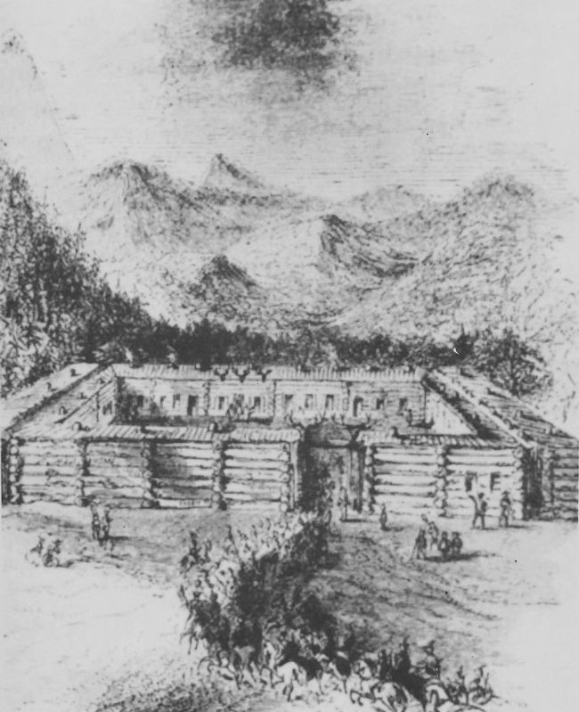
Marker detail: 1853 Sketch of Fort Massachusetts
SHOWN IN SOURCE-SPECIFIED ORDER
1 ► Colorado, Costilla County, Fort Garland — Six Miles of Separation — — Two U.S. Forts — —  |
| On U.S. 160 at milepost 262.2, 3.9 miles east of Miranda Avenue (State Highway 159), on the right when traveling west. | |||
| 2 ► Colorado, Costilla County, Fort Garland — Fort Garland — State Historical Monument — |
| On State Highway 159 0.2 miles south of State Highway 160, on the right when traveling south. | |||