THE HISTORICAL
MARKER DATABASE
“Bite-Size Bits of Local, National, and Global History”


5 entries match your criteria.  


Related Historical Markers
 
By Ralph Cahoon
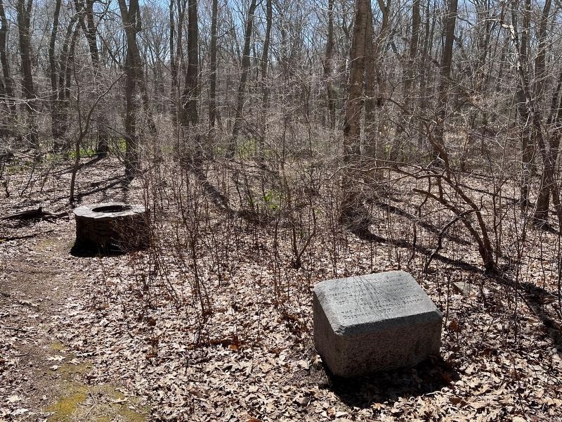
In the Miery Swamp Marker
SHOWN IN SOURCE-SPECIFIED ORDER
1 ► Rhode Island, Bristol County, Bristol — In the Miery Swamp — King Philip Fell —
Near Tower Street (at milepost 0.7), 0.2 miles south of Tower Street.
2 ► Massachusetts, Plymouth County, Halifax — Wamsutta Was Taken Prisoner —
On Monponsett Street (Massachusetts Route 58) at White Island Road, on the left when traveling south on Monponsett Street.
3 ► Rhode Island, Bristol County, Warren — Burr's Hill — Royal Pokanoket Burial Site — Sowams Heritage Area —
On Water Street south of Haile Street, on the left when traveling south.
4 ► Massachusetts, Plymouth County, Plymouth — Massasoit —
On Water Street at North Street, on the left when traveling north on Water Street.
5 ► Rhode Island, Bristol County, Bristol — Mount Hope — Sacred Land of the Pokanokets — A Sowams Heritage Area Site —
Near Metacom Avenue (Rhode Island Route 136) 0.1 miles south of Mount Hope Avenue, on the right when traveling north.


CeraNet Cloud Computing sponsors the Historical Marker Database.
This website earns income from purchases you make after using our links to Amazon.com. We appreciate your support.
Paid Advertisement
Nov. 11, 2026
