2 entries match your criteria.
Related Historical Markers
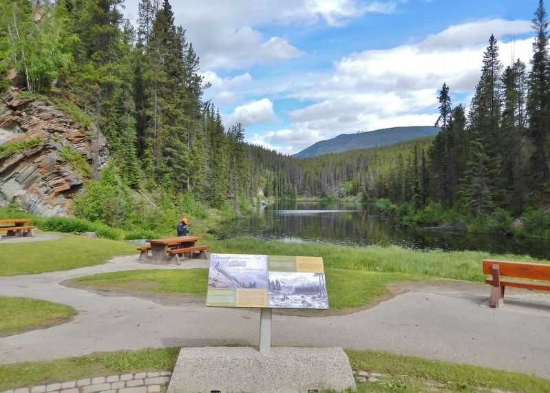
By Cosmos Mariner, July 6, 2022
Crossing the Great Divide/Traverser la ligne de partage des eaux Marker
SHOWN IN SOURCE-SPECIFIED ORDER
1 ► British Columbia, Fraser-Fort George, Lucerne — Crossing the Great Divide/Traverser la ligne de partage des eaux —  |
| On Yellowhead Highway (Provincial Highway 16) 24.8 kilometers west of Icefields Parkway (Provincial Highway 93), on the right when traveling west. | |||
| 2 ► British Columbia, Thompson-Nicola, Louis Creek — "Overlanders" of 1862 — |
| On Southern Yellowhead Highway (Provincial Highway 5) 0.6 kilometers east of Badger Creek Road, on the left when traveling east. | |||