3 entries match your criteria.
Related Historical Markers
To better understand the relationship, study each marker in the order shown.
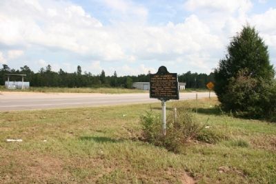
By TRCP Alliance, September 25, 2011
Fort Claiborne Marker (East View)
SHOWN IN SOURCE-SPECIFIED ORDER
| On U.S. 84 at Grain Elevator Road and Lena Landegger Highway, on the left when traveling west on U.S. 84. |
| On U.S. 84 at Old Fort Claiborne Road, on the right when traveling west on U.S. 84. |
| On U.S. 84 at Dales Ferry Road (County Road 1), on the left when traveling west on U.S. 84. |
Nov. 13, 2026
