3 entries match your criteria.
Entries Containing All of the Phrases «dawes county» AND «nebraska»
By Barry Swackhamer, September 5, 2015
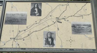
Historic Northwestern Nebraska Marker
RANKED BY RELEVANCE
1 ► Nebraska, Dawes County, Chadron — Historic Northwestern Nebraska —  |
| On U.S. 385 at West 16th Street, on the left when traveling north on U.S. 385. | |||
| 2 ► Nebraska, Dawes County, Chadron — 465 — Fort Robinson - Camp Sheridan - Pine Ridge Indian Agency Road — |
| On U.S. 385 at West 16th Street, on the left when traveling north on U.S. 385. | |||
| 3 ► Nebraska, Dawes County, Chadron — 304 — The Fort Pierre-Fort Laramie Trail — |
| On U.S. 385 0.3 miles north of U.S. 20, on the left when traveling north. | |||
Thin black lines indicate changes in relevance. Between each pair of lines entries are ordered geographically but all have the same relevance.
* Inflectional forms of words are their plurals, singulars, and possessives as well as gramatical tenses and similar variations.
Nov. 13, 2026