205 entries match your criteria. Entries 201 through 205 are listed.⊲ Previous 100
Daughters of the American Colonists Historical Markers
Markers erected by all chapters of Daughters of the American Colonists. The Society is dedicated to research the deeds of American colonists and to record, publish and commemorate them.
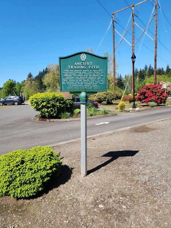
Near this location passed an important traditional trading path. First forged by game animals, later followed by Native Americans, fur-traders from the Hudson's Bay Company, and American pioneers who established a permanent settlement here in 1845. . . . — — Map (db m254647) HM
During the period of its existence Fort Walla Walla protected a vast area of the Northwest. Indian Wars which were fought by troops from this fort are Steptoe Expedition, Wright Expedition, Modoc War and Bannock War.
Regiments stationed . . . — — Map (db m311705) HM
Near South Webster Avenue at Greene Avenue, on the right when traveling south. Reported permanently removed.
This park, built to portray and preserve Wisconsin's beginnings, is located on a site that is itself a part of history. On this 40-acre site stood Camp Smith--a temporary location of Fort Howard--part of the pioneer settlement known as Shantytown, . . . — — Map (db m240687) HM
Near South Monroe Avenue (State Highway 57) 0.1 miles north of Emilie Street, on the left when traveling north.
On this site Morgan L. Martin (1805-87) built this home in 1837, after his marriage to Elizabeth Smith of Plattsburgh, N.Y. It was a center of social, literary and political accomplishment for nearly a century. Coming here in 1827 as a young . . . — — Map (db m37202) HM
On Hamilton Road 0.1 miles north of Green Bay Road, on the left when traveling north.
In our ancient past, Wisconsin was crossed by a system of trails first forged by deer and elk as they migrated in search of good weather, food and salt. Native Americans used the Paths as they hunted, traded, and made war in troubled times. Some . . . — — Map (db m66620) HM
205 entries matched your criteria. Entries 201 through 205 are listed above. ⊲ Previous 100