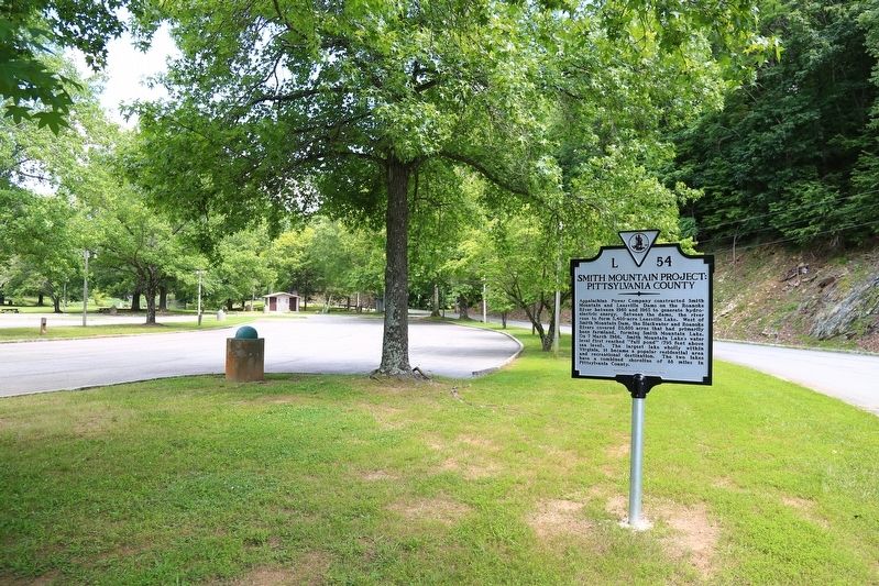
Appalachian Power Company constructed Smith Mountain and Leesville Dams on the Roanoke River between 1960 and 1963 to generate hydroelectric energy, Between the dams, the river rose to form 3,400-acre Leesville Lake. West of Smith Mountain Dam, . . . — — Map (db m104452) HM
Appalachian Power Company built Smith Mountain and Leesville Dams between 1960 and 1963 to generate hydroelectric energy. West of Smith Mountain Dam, the waters of the Roanoke and Blackwater Rivers formed Smith Mountain Lake, covering 20,600 acres . . . — — Map (db m104438) HM
Appalachian Power Company constructed Smith
Mountain and Leesville Dams between 1960 and
1963 to generate hydroelectric energy. The waters
of the Roanoke and Blackwater Rivers formed Smith
Mountain Lake, one of two resulting reservoirs,
which . . . — — Map (db m104439) HM