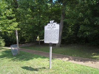
Lee’s Mill, a pre-war tide mill, formed part of Confederate Maj. Gen. John Bankhead Magruder’s second Peninsula defensive line. When Union Gen. George B. McClellan began his Peninsula Campaign, his advance against Richmond was blocked here on 5 . . . — — Map (db m10196) HM
The fortifications that appear before you are all that remain of the extensive Confederate fortifications defending the Warwick River crossing at Lee’s Mill. After an uneventful march up the Great Warwick Road through Young’s Mill on April 4, the . . . — — Map (db m171524) HM
The Confederate field fortifications constructed on the Virginia Peninsula were influenced by seventeenth-century French military engineer Marshal Sebastien le Prestre de Vauban and nineteenth-century American engineering professor Dennis Hart . . . — — Map (db m11333) HM
Overlooking one of the James River’s tributaries, Lee’s Mill is a watershed property with a long history of settlement. The Native Americans of the Powhatan Confederation hunted and fished along the banks of the Warwick River. During the 1600s, . . . — — Map (db m11331) HM
The Battle of Lee’s Mill set the stage for an elaborate ruse as Gen. Magruder maneuvered his troops along the 12-mile line and created the illusion of double his numbers. Moreover, Gen. McClellan was daunted by the Confederate defenses and had . . . — — Map (db m11330) HM
In March of 1862, Union Maj. Gen. George McClellan’s Army of the Potomac landed at Fort Monroe and Camp Butler. This large force contained 121,500 soldiers, 44 batteries of field artillery and 101 heavy siege cannons. Confederate Maj. Gen. John . . . — — Map (db m11310) HM
On May 24, 1861, Confederate Col. John Magruder assumed command of the Peninsula’s defenses. The Confederate capital at Richmond was only 80 miles from Fort Monroe, and “Prince John” Magruder did not have enough artillery or men to . . . — — Map (db m11306) HM