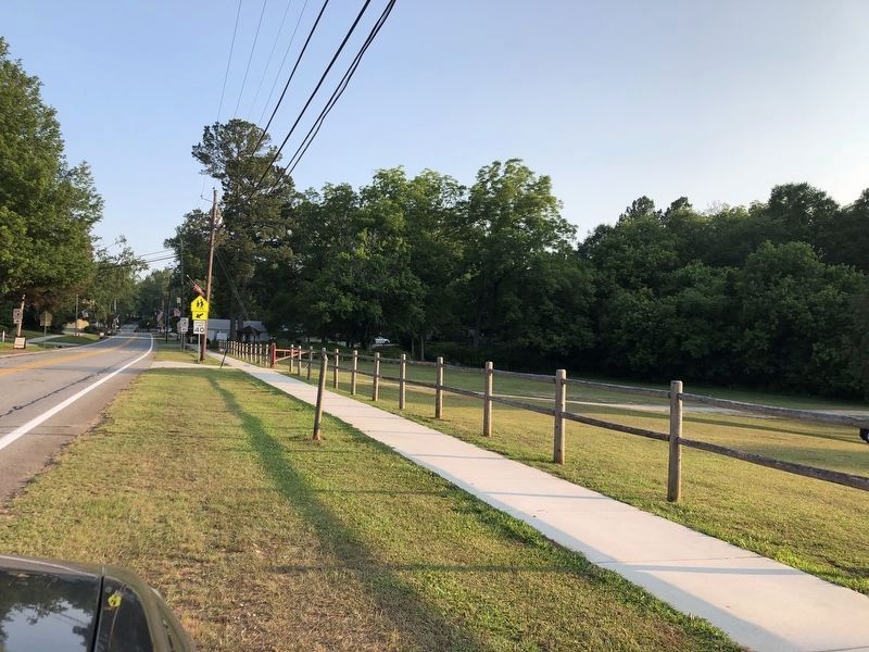
On Highway 42, on the right when traveling south. Reported missing.
Across the highway stands the inn built about 1823 by William McIntosh, half-breed chief of the Lower Creek Indians. Here on February 12, 1825, McIntosh and other chiefs signed the Second Treaty of Indian Springs, giving up their last Georgia land. . . . — — Map (db m395) HM
On West McIntosh Circle 2 miles south of Georgia Route 5, on the left when traveling south.
William McIntosh, Scotch-Coweta Chief of the Coweta Towns, distinguished soldier in the battle of Autossee and Horseshoe Bend, and in the Seminole Wars with the rank of Brigadier-General, was killed by Upper Creeks and is buried here, the site of . . . — — Map (db m12548) HM
On West McIntosh Circle 2 miles south of Georgia Route 5, on the right when traveling east.
Here at the home of Creek Chief Wm McIntosh, a treaty establishing a new boundary between the CHEROKEE and CREEK Indian Nations was drafted and signed. The north boundary was later used in the first survey of Carroll County in 1826-27. — — Map (db m12547) HM