2 entries match your criteria.
Related Historical Markers
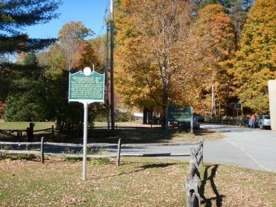
By Kevin Craft, October 12, 2014
Revolutionary War Campground on the Crown Point Road Marker
SHOWN IN SOURCE-SPECIFIED ORDER
1 ► Vermont, Windsor County, Plymouth — Revolutionary War Campground on the Crown Point Road —  |
| This lakeside meadow was a 1777 campground for Rindge NH troops en route to Mount Independence and Fort Ticonderoga to fight Burgoyne's invading British army. The 1776 Crown Point Road linking Fort No. 4 on the Connecticut River to Lake Champlain . . . — — Map (db m78159) HM | |||
| 2 ► Vermont, Windsor County, Weathersfield, Perkinsville — The Crown Point Road — |
| The British, upon command of General Jeffrey Amherst, began construction of the Crown Point Road in 1759 during the French and Indian War to provide a more direct route for the provision of fresh troops and supplies between their . . . — — Map (db m280398) HM | |||