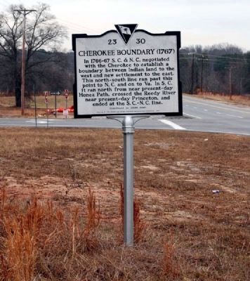
On McCarter Drive (State Highway 418) west of Interstate 385, on the right when traveling west.
[Front]:
In 1766-67 S.C. & N.C. negotiated with the Cherokee to establish a boundary between Indian land to the west and new settlement to the east. This north-south line ran past this point to N.C. and on to Va. In S.C. it ran north . . . — — Map (db m49086) HM
On South Highway 14 (State Highway 14), on the left when traveling north.
[Front]:
In 1766-67 S.C. & N.C. negotiated with the Cherokee to establish a boundary between Indian land to the west and new settlement to the east. This north-south line ran past this point to N.C. and on to Va. In S.C. it ran north . . . — — Map (db m8446) HM