Near Grass Valley in Nevada County, California — The American West (Pacific Coastal)
Overland Emigrant Trail
Photographed by Craig Baker, 2019
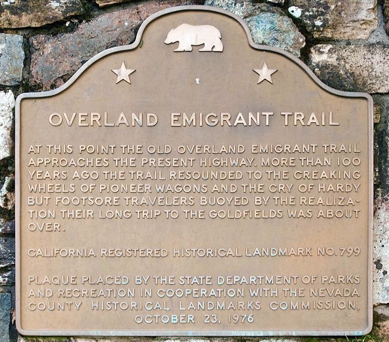
1. Overland Emigrant Trail Marker
At this point the Old Overland Trail approaches the present highway. More than a hundred years ago the trail resounded to creaking wheels of pioneer wagons and the cries of hardy but footsore travelers buoyed by the realization their long trip to the gold fields was about over.
Erected 1976 by State Department of Parks and Recreation, and Nevada County Historical Landmarks Commission. (Marker Number 799.)
Topics and series. This historical marker is listed in this topic list: Roads & Vehicles. In addition, it is included in the California Historical Landmarks series list.
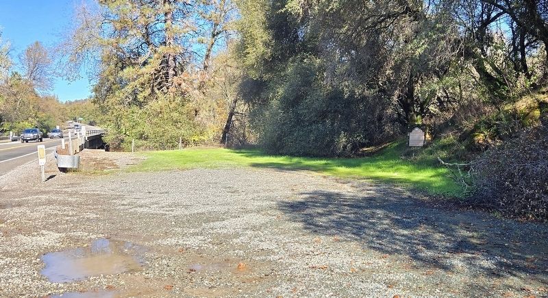
Location. 39° 3.713′ N, 121° 5.313′ W. Marker is near Grass Valley, California, in Nevada County. It is on State Highway 49, 10 miles south of Grass Valley, on the left when traveling south. Touch for map. Marker is in this post office area: Grass Valley CA 95949, United States of America. Touch for directions.

Regionally, this marker is in the Sierra Nevada. It is also in the American Mountain West. Globally, it is in North America, on the Ring of Fire, on the Pacific Rim, in the Western
this page online
Other nearby markers. At least 8 other markers are within 8 miles of this marker, measured as the crow flies: A different marker also named Overland Emigrant Trail (approx. 1.3 miles away); Truckee Trail - Last of the Foothills (approx. 1.4 miles away); Truckee Trail - Approaching Sacramento Valley (approx. 2.7 miles away); Truckee Trail - Approaching Rock Creek (approx. 3.9 miles away); Truckee Trail - Among the Foothills (approx. 5.4 miles away); Truckee Trail - All Hills and Ravines (approx. 6 miles away); Olivers (approx. 7.4 miles away); Colfax Methodist Church (approx. 7.6 miles away). Touch for a list and map of all markers in Grass Valley.
Regarding Overland Emigrant Trail. It is estimated that over thirty thousand people used this trail in 1849.
This site is California Historical Landmark No. 799.
Related marker. Click here for another marker that is related to this marker. Overland Emigrant Trail Marker at Johnson's Ranch, Wheatland.
Photographed by Syd Whittle, January 17, 2006
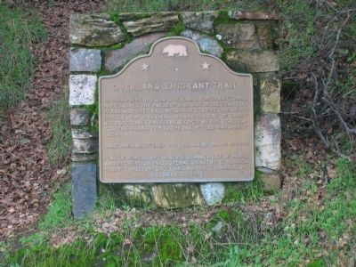
2. Overland Emigrant Trail Marker
Photographed by Syd Whittle, February 13, 2011
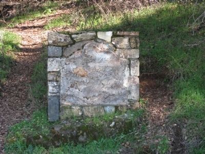
3. The Plaque Was Missing in 2011
Photographed by Cory Waters, November 21, 2025
4. Overland Emigrant Trail Marker
Credits. This page was last revised on November 24, 2025. It was originally submitted on August 21, 2008, by Syd Whittle of Mesa, Arizona. This page has been viewed 3,655 times since then and 87 times this year. Photos: 1. submitted on June 16, 2023, by Craig Baker of Sylmar, California. 2. submitted on August 21, 2008, by Syd Whittle of Mesa, Arizona. 3. submitted on February 13, 2011, by Syd Whittle of Mesa, Arizona. 4. submitted on November 21, 2025, by Cory Waters of Bangor, California. • Kevin W. was the editor who published this page.
