THE HISTORICAL
MARKER DATABASE
“Bite-Size Bits of Local, National, and Global History”


4 entries match your criteria.  


Related Historical Markers

 
By Bill Kirchner, October 2, 2018
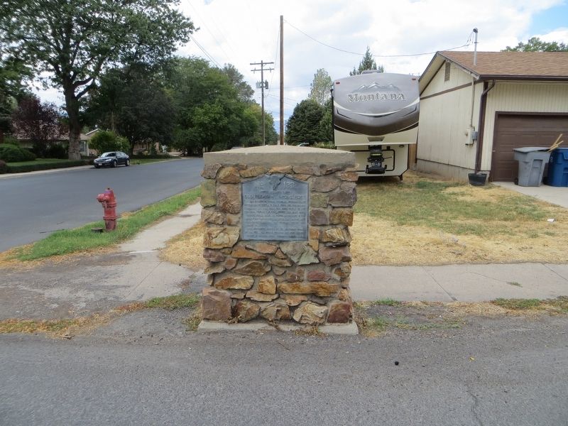
Old Pleasant Grove Fort Marker
SHOWN IN SOURCE-SPECIFIED ORDER
1 ► Utah, Utah County, Pleasant Grove — 133 — Old Pleasant Grove Fort —
In 1853 because of Indian troubles, Brigham Young instructed the people to build forts for protection. A two foot six inch rock wall from three to five feet high, four city blocks square, was built here. Private homes faced the center of the . . . — — Map (db m149513) HM
2 ► Utah, Utah County, Pleasant Grove — Old Pleasant Grove Fort —
Fort Wall S. W. Corner — — Map (db m149515) HM
3 ► Utah, Utah County, Pleasant Grove — Old Pleasant Grove Fort —
Fort Wall N. W. Corner — — Map (db m149516) HM
4 ► Utah, Utah County, Pleasant Grove — Old Pleasant Grove Fort —
Fort Wall N. E. Corner — — Map (db m149517) HM


CeraNet Cloud Computing sponsors the Historical Marker Database.
This website earns income from purchases you make after using our links to Amazon.com. We appreciate your support.
Paid Advertisement
Oct. 9, 2026
