2 entries match your criteria.
Related Historical Markers
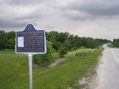
By Christopher Light, May 27, 2007
View of Tippicanoe River Valley (westward looking)
SHOWN IN SOURCE-SPECIFIED ORDER
1 ► Indiana, Carroll County, Delphi — 08.1966.1 — New Purchase Boundary — (Treaty of St. Mary’s) —  |
| In October 1818, Purchasing Commissioners Lewis Cass, Benjamin Parke and Governor Johnathan Jennings acquired Indian claims on the land shown on this marker. About one-third of modern Indiana was involved in this transaction. — — Map (db m1152) HM | |||
| 2 ► Indiana, Benton County, Fowler — 04.1966.1 — New Purchase Boundary — (Treaty of St. Mary's) — |
| In October 1818, Purchasing Commissioners Lewis Cass, Benjamin Parke and Governor Jonathan Jennings acquired Indian claims on the land shown on this marker. About one-third of modern Indiana, was involved in this transaction. — — Map (db m21517) HM | |||