Grand Canyon National Park in Mohave County, Arizona — The American Mountains (Southwest)
Separation Canyon
Photographed by Craig Baker
1. Separation Canyon Marker
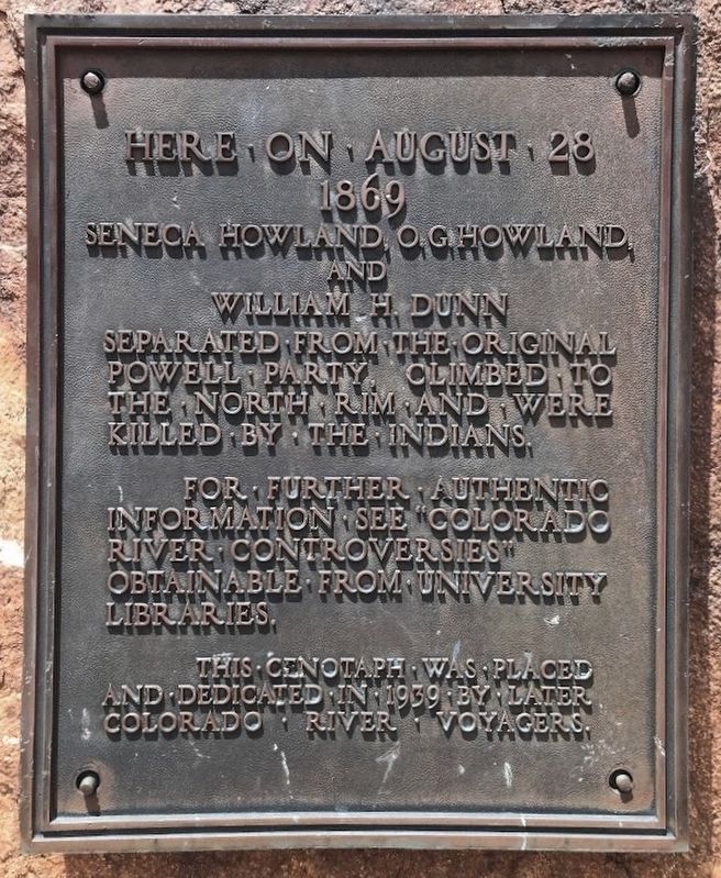
Here on August 28 1869, Seneca Howland, O.G. Howland and William H. Dunn separated from the original Powell party, climbed to the north rim and were killed by the Indians.
For further authentic information see “Colorado River Controversies” obtainable from university libraries.
This cenotaph was placed and dedicated in 1939 by later Colorado River voyagers.
Erected 1939.
Topics. This historical marker is listed in these topic lists: Exploration • Waterways & Vessels. A significant historical date for this entry is August 28, 1869.
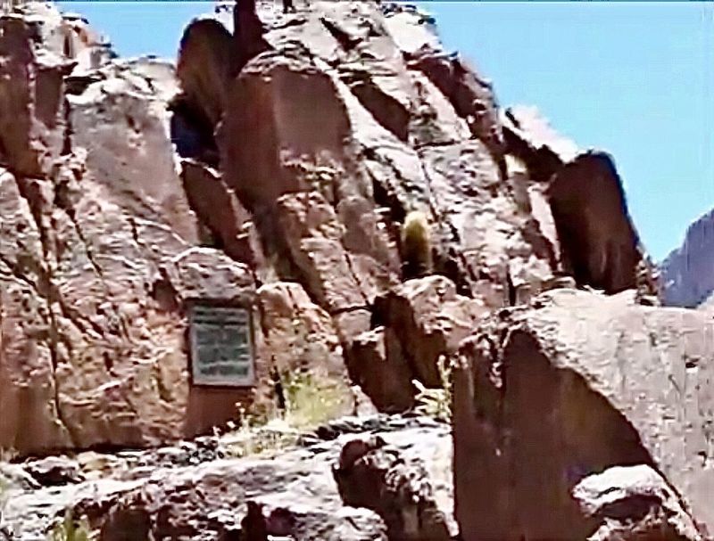
Location. 35° 49.374′ N, 113° 34.239′ W. Marker is in Grand Canyon National Park, Arizona, in Mohave County. It can be reached from the Colorado River. The marker is near the Colorado River at Separation Canyon, accessible only during a river rafting trip down the river. Touch for map. Marker is in this post office area: Littlefield AZ 86432, United States of America. Touch for directions.

Regionally, this marker is in the American Southwest and on the Colorado Plateau. Globally, it is in North America, the Western Hemisphere, the Western World, and the Anglosphere. Historically,
this page online
Regarding Separation Canyon.
On August 28, 1869, the Powell expedition had survived 99 days on the river and all of the men were low on rations. The three men decided to leave the Powell expedition not knowing only one day remained on the trip, and they hiked up what came to be known as Separation Canyon. Several weeks later, Powell learned that the three men had not made it out. No one is sure what happened, but one account says they encountered some Shivwits Indians who accused them of attacking one of their women.
Another group of explorers went through the Grand Canyon headed by Robert Brewster Stanton, who noticed that parts of Powell’s writings did not add up. He noticed that places and events were out of order or exaggerated. Stanton used these errors to criticize Powell in a book titled “Colorado River Controversies”. Stanton interviewed members of the Powell expedition, and interpreted the event at Separation Canyon as an unnecessary loss of life spurred by Powell’s gruff treatment of the men.
Also see . . . Separation Rapids.
Photographed by Craig Baker
2. Separation Canyon Marker
Credits. This page was last revised on September 11, 2026. It was originally submitted on October 20, 2019. This page has been viewed 1,325 times since then and 96 times this year. Last updated on September 7, 2020, by Craig Baker of Sylmar, California. Photos: 1, 2. submitted on October 20, 2019, by Craig Baker of Sylmar, California. • J. Makali Bruton was the editor who published this page.
