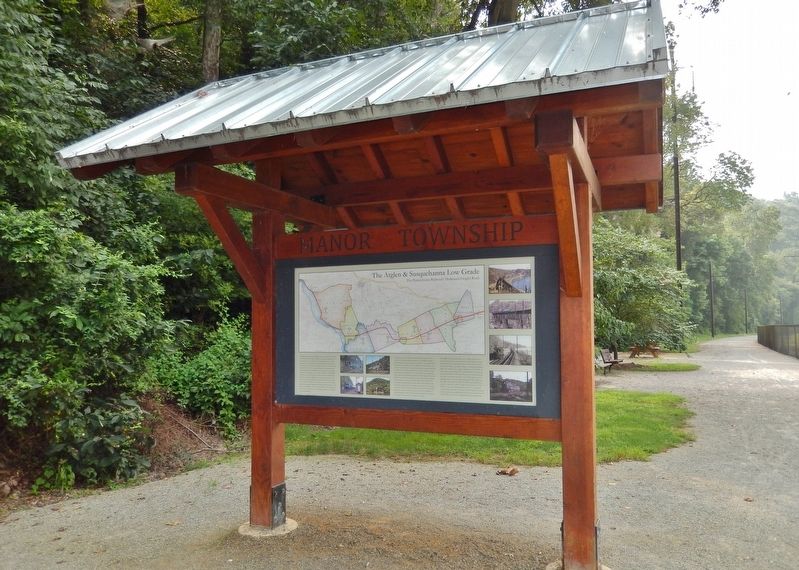
Near River Road 0.5 miles south of Anchor Road, on the right when traveling south.
The Atglen & Susquehanna Branch was constructed (1903-1906) by the Pennsylvania Railroad (PRR) as the middle segment of its Low Grade Line, an ambitious through-freight route which extended some 140 miles from Morrisville Yard near Trenton, New . . . — — Map (db m171780) HM
Near River Road 0.5 miles south of Anchor Road, on the right when traveling south.
When construction began in 1903, no other section of the Pennsylvania Railroad's (PRR) A&S Branch likely seemed as improbable as that along the western boundary of Manor Township. There was no existing path sufficient to the purpose of two-track, . . . — — Map (db m160247) HM
On Colemanville Church Road 0.2 miles west of River Road when traveling west.
Dynamite was essential for expedient construction of the A&S. Rock cliffs on the Susquehanna River were blasted for months to create shelves that carried the rails northward, a lower route for the older Port Road and an upper route for the new . . . — — Map (db m122692) HM
On Marticville Road (Pennsylvania Route 324) north of Red Hill Road (County Route 3019), on the right when traveling east. Reported missing.
Finding a strategic location for servicing the freight route was a challenge for the PRR as the A&S headed west over the deep valley of Pequea Creek (upper left image) toward the Susquehanna River. Facilities were created by carving a wider . . . — — Map (db m172375) HM
On Georgetown Road (Pennsylvania Route 896) north of Heyberger Road, on the left when traveling north.
Of all the resources required for operation of the A&S, none was more deceptively vital than water. From its inception under steam locomotion, the A&S was quietly sustained by the vast water resources it continually crossed. Previous droughts and . . . — — Map (db m158460) HM
On Bushong Road 0.3 miles south of Valley Road ( Route 372), on the right when traveling south.
Unlike routes that served passengers and local freight customers, the A&S required relatively few staffed facilities. Westward from Atglen, the A&S was desolate, compared to the main line's string of frequent village stops. Constructed after the . . . — — Map (db m171971) HM
On Fairview Road 0.3 miles west of Beaver Valley Pike (U.S. 222), on the left when traveling west.
No other section of the eastern A&S more fully demonstrated the Pennsylvania Railroad's (PRR) commitment to re-shape the landscape for an optimum freight road than its seven miles through Providence Township. The gentle compound curve (on paper) . . . — — Map (db m160853) HM