Marker Logo
THE HISTORICAL
MARKER DATABASE
“Bite-Size Bits of Local, National, and Global History”


2 entries match your criteria.  


Related Historical Markers

 
By Cosmos Mariner, June 27, 2021
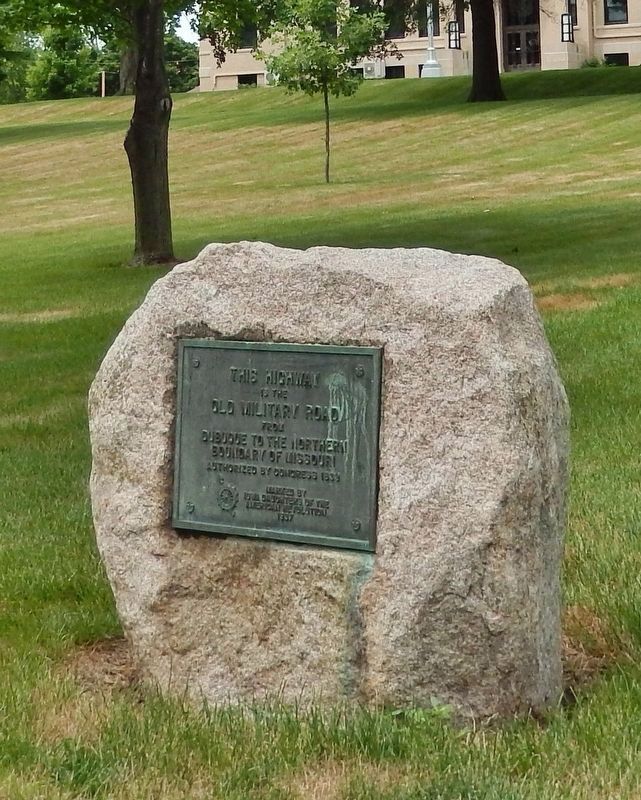
The Old Military Road Marker
SHOWN IN SOURCE-SPECIFIED ORDER
1 Iowa, Jones County, Anamosa — The Old Military Road — Dubuque to the Northern Boundary of Missouri
On West Main Street at North High Street, on the right when traveling west on West Main Street.
This highway is the Old Military Road from Dubuque to the northern boundary of Missouri authorized by Congress 1839Map (db m176261) HM
2 Iowa, Jones County, Martelle — Dillon's Furrow — 1839-1989
On South Military Street just north of Hubbell Street, on the right when traveling north.
Before 1839 no roads connected Dubuque and Iowa City. Travelers often became lost. Lyman Dillon, Esq., from Cascade, Iowa plowed a furrow between the two cities. The 100 mile furrow, known as Dillon’s Furrow is the longest on record. Dillon’s Furrow . . . Map (db m238900) HM


CeraNet Cloud Computing sponsors the Historical Marker Database.
This website earns income from purchases you make after using our links to Amazon.com. We appreciate your support.
Paid Advertisement
Sep. 9, 2026