Tlalpujahua, Michoacán, Mexico — The Pacific Coast (and Central Highlands)
Manuel Martínez de Navarrete
Photographed by J. Makali Bruton, May 16, 2021
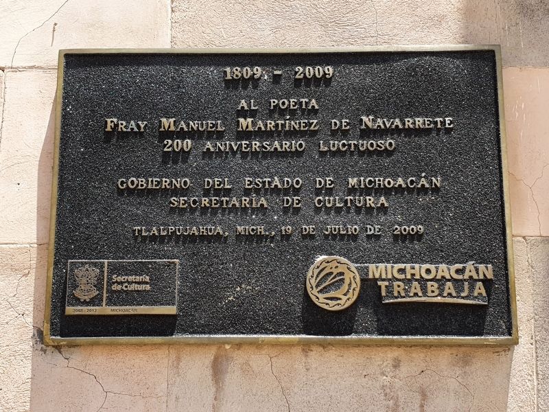
1. Manuel Martínez de Navarrete Marker

Al poeta Fray Manuel Martínez de Navarrete
200 aniversario luctuoso
Gobierno del Estado de Michoacán
Secretaría de Cultura
Tlalpujahua, Mich., 19 de julio de 2009
1809-2009
To the poet Friar Manuel Martínez de Navarrete
On the 200th Anniversary of his death
Government of the State of Michoacán
Secretary of Culture
Tlalpujahua, Michoacán, July 19, 2009
Erected 2009 by Gobierno del Estado de Michoacán, Secretaría de Cultura.
Topics. This historical marker is listed in these topic lists: Arts, Letters, Music • Colonial Era. A significant historical date for this entry is July 19, 2009.
Location. 19° 48.208′ N, 100° 10.37′ W. Marker is in Tlalpujahua, Michoacán. It is at the intersection of Fray Manuel and Libertad, on the right when traveling east on Fray Manuel. Touch for map. Marker is in this post office area: Tlalpujahua MIC 61060, Mexico. Touch for directions.

Regionally, this marker is in Western Mexico, in the Bajío, and on the Pacific Coast. Globally, it is in North America, specifically in Mesoamerica, on the Ring of Fire, on the Pacific Rim, and in the Western Hemisphere. Historically,
this page online
Other nearby markers. At least 8 other markers are within 5 kilometers of this marker, measured as the crow flies: General Ignacio Zaragoza Seguín (within shouting distance of this marker); Felipe Neri Vallez (approx. 0.3 kilometers away); General Ignacio López Rayón (approx. half a kilometer away); Velia Marmolejo Fat (approx. 4 kilometers away in Estado de Mexico); Tiro Norte (approx. 4 kilometers away in Estado de Mexico); María Luisa Ocampo Heredia (approx. 4 kilometers away in Estado de Mexico); Authorization of the Railroad in El Oro (approx. 4.2 kilometers away in Estado de Mexico); Commercial Activity in El Oro (approx. 4.2 kilometers away in Estado de Mexico). Touch for a list and map of all markers in Tlalpujahua.
Also see . . .
1. Manuel Martínez de Navarrete (in Spanish at Wikipedia). (Submitted on May 26, 2021, by J. Makali Bruton of Washington, District of Columbia.)
2. Poesías profanas de Manuel Martínez de Navarrete. (Submitted on May 27, 2021, by J. Makali Bruton of Washington, District of Columbia.)
Additional keywords. placa
Photographed by J. Makali Bruton, May 16, 2021
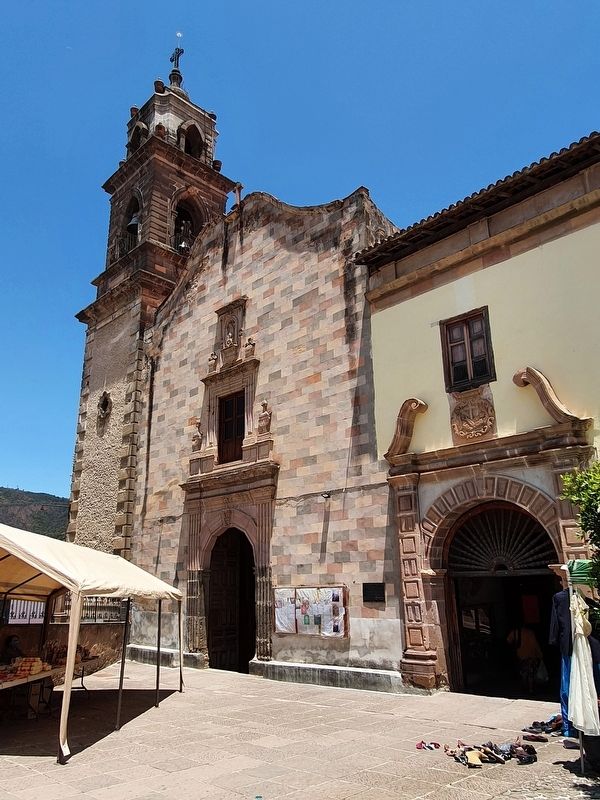
2. Manuel Martínez de Navarrete Marker
Photographed by J. Makali Bruton, May 16, 2021
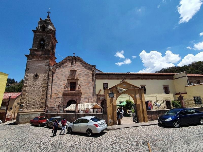
3. The Temple of the Franciscan Convent of Tlalpujahua
Credits. This page was last revised on April 4, 2025. It was originally submitted on May 26, 2021, by J. Makali Bruton of Washington, District of Columbia. This page has been viewed 154 times since then and 7 times this year. Photos: 1, 2, 3. submitted on May 26, 2021, by J. Makali Bruton of Washington, District of Columbia.
