Near McAdoo in Dickens County, Texas — The American South (West South Central)
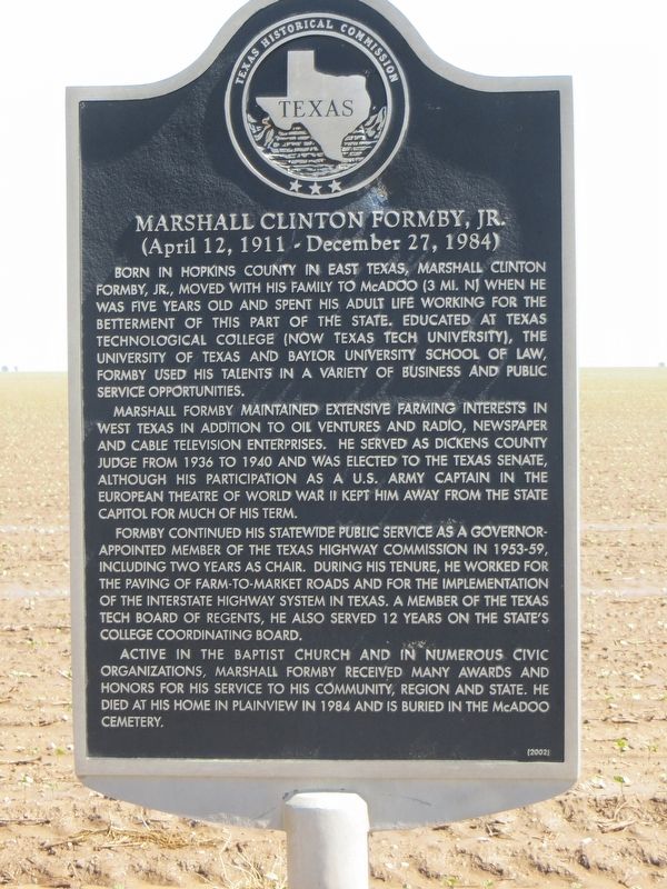
Marshall Clinton Formby, Jr.
(April 12, 1911 - December 27, 1984)
Photographed by Bill Kirchner, June 9, 2017
1. Marshall Clinton Formby, Jr. Marker
Marshall Formby maintained extensive farming interests in west Texas in addition to oil ventures and radio, newspaper and cable television enterprises. He served as Dickens County Judge from 1936 to 1940 and was elected to the Texas Senate, although his participation as a U.S. Army captain in the European Theatre of World War II kept him away from the state capitol for much of his term.
Formby continued his statewide public service as a governor-appointed member of the Texas Highway Commission in 1953-59, including two years as chair. During his tenure, he worked for the paving of farm-to-market roads and for the implementation of the interstate highway system in Texas. A member of the Texas Tech
this page online
Active in the Baptist Church and in numerous civic organizations, Marshall Formby received many awards and honors for his service to his community, region and state. He died at his home in Plainview in 1984 and is buried in the McAdoo cemetery.
Erected 2002 by Texas Historical Commission. (Marker Number 12634.)
Topics. This historical marker is listed in these topic lists: Agriculture • Communications • Industry & Commerce • Religion & Religious Structures • Settlements & Settlers • War, World II. A significant historical year for this entry is 1936.
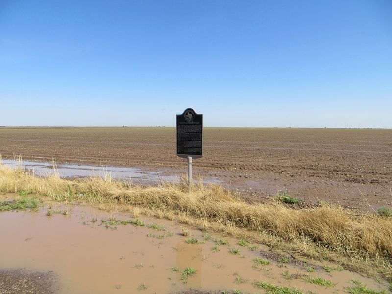
Location. 33° 41.068′ N, 101° 0.55′ W. Marker is near McAdoo, Texas, in Dickens County. It is at the intersection of U.S. 82 and Farm to Market Road 264, on the right when traveling west on U.S. 82. Touch for map. Marker is in this post office area: McAdoo TX 79243, United States of America. Touch for directions.

Regionally, this marker is on the South Plains. It is also on the American Great Plains and specifically on the Southern Plains. Globally, it is in North
Photographed by Bill Kirchner, June 9, 2017
2. Marshall Clinton Formby, Jr. Marker
Other nearby markers. At least 8 other markers are within 10 miles of this marker, measured as the crow flies: A different marker also named Marshall Clinton Formby, Jr. (approx. 2.9 miles away); Pansy Baptist Church (approx. 3.1 miles away); Site of Leatherwood School (approx. 3.1 miles away); Silver Falls Pavilion (approx. 8.7 miles away); Old Dewey Lake (approx. 9.7 miles away); Two-Buckle Ranch Headquarters (approx. 9.7 miles away); Texas Ranger Campsite (approx. 9.7 miles away); Main Supply Camp on Historic Mackenzie Trail (approx. 9.7 miles away).
Photographed by Bill Kirchner, June 9, 2017
3. Marshall Clinton Formby, Jr. Marker
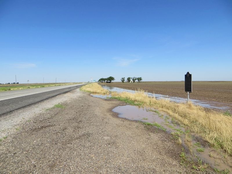
View west on highway US-82.
Credits. This page was last revised on December 21, 2019. It was originally submitted on July 7, 2017, by Bill Kirchner of Tucson, Arizona. This page has been viewed 3,041 times since then and 252 times this year. Photos: 1, 2, 3. submitted on July 7, 2017, by Bill Kirchner of Tucson, Arizona.
