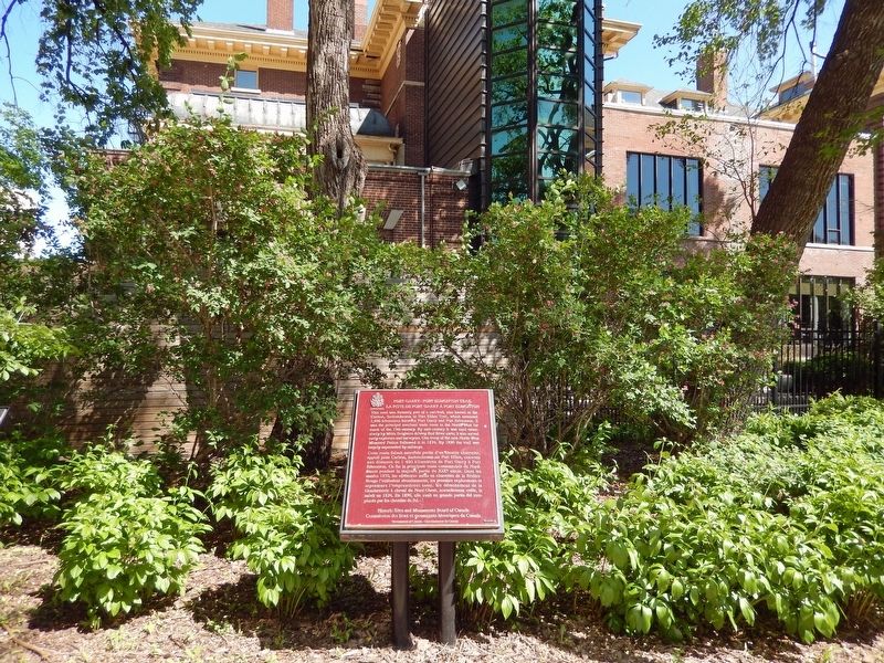
Near Main Street (Trans-Canada Highway) (Provincial Highway 1) just south of Broadway, on the right when traveling south.
[English] This road was formerly part of a cart trail, also known as the Carlton, Saskatchewan or Fort Ellice Trail, which extended 1,400 kilometres between Fort Garry and Fort Edmonton. It was the principal overland trade route in . . . — — Map (db m220204) HM
Near Main Street (Trans-Canada Highway) (Provincial Highway 1) just south of Broadway, on the right when traveling south.
[English] Born in the Red River Settlement, Ambroise-Didyme Lépine engaged in river-lot agriculture, combining this with hunting and trading as did many other Métis. In the autumn of 1869 he became Adjutant General to Louis Riel and . . . — — Map (db m220224) HM