THE HISTORICAL
MARKER DATABASE
“Bite-Size Bits of Local, National, and Global History”


3 entries match your criteria.  


Related Historical Markers

Several identical markers can be found around Downtown Providence.
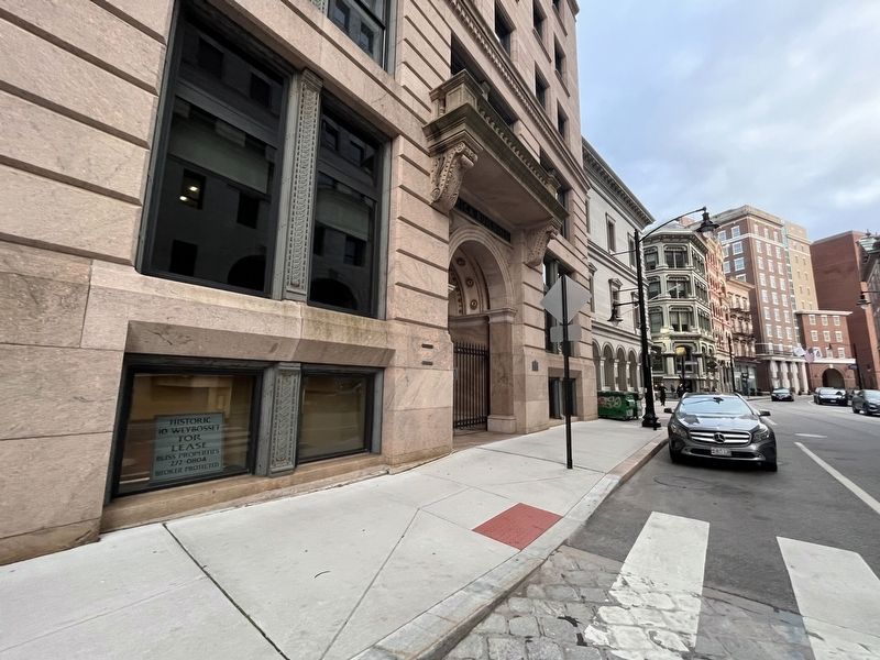
 
By By Devry Becker Jones (CC0), May 4, 2023
Hurricane and Flood of September 21, 1938 Marker
SHOWN IN SOURCE-SPECIFIED ORDER
1 ► Rhode Island, Providence County, Providence, Downtown Providence — Hurricane and Flood of September 21, 1938 —
During the hurricane and flood of September 21, 1938 the waters rose to this level. — — Map (db m222617) HM
2 ► Rhode Island, Providence County, Providence, Downtown Providence — Hurricane and Flood of September 21, 1938 —
During the hurricane and flood of September 21, 1938 the waters rose to this level. — — Map (db m251916) HM
3 ► Rhode Island, Providence County, Providence, Downtown Providence — Hurricane and Flood of September 21, 1938 —
During the hurricane and flood of September 21, 1938 the waters rose to this level — — Map (db m151642) HM


CeraNet Cloud Computing sponsors the Historical Marker Database.
This website earns income from purchases you make after using our links to Amazon.com. We appreciate your support.
Paid Advertisement
Oct. 9, 2026
