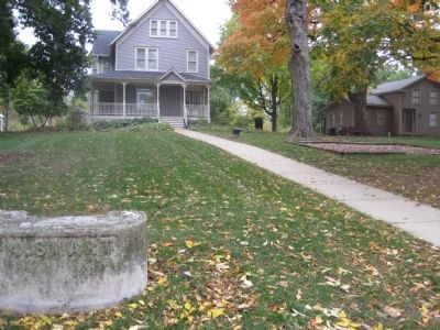
Immediately north of this marker runs the Indian Boundary Line which was established on Aug 24, 1816 by a treaty between three U.S. commissioners and the Chippewa, Ottawa and Potawotami Indians to provide a corridor between Lake Michigan and the . . . — — Map (db m60035) HM
Long ago, Native American Indians lived on this land. Before recorded history, the Mound Builders traveled the area, perhaps along the nearby Ridge. Later the Illinois Tribe hunted game and planted maize. Last it was the Ottawa, the Chippewa, and . . . — — Map (db m68560) HM
Look left. Look right. You are standing on the northern border of the Indian Boundary Line, a 20-by-70-mile strip of land that stretched from Lake Michigan southwest to the Illinois River near present-day Ottawa, Illinois.
The line was part . . . — — Map (db m246237) HM