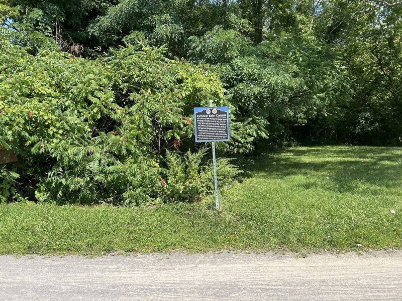
On Empire State Trail 1 mile west of Elmwood Street, on the right when traveling west.
The Grand Erie Canal, also known as Clinton's Ditch,
was opened to Brockport in 1823 and formally opened
from Buffalo to Albany on Oct 26, 1825. This 4 foot
deep, 40 foot wide canal was enlarged here in the
early 1860s to 7 feet deep, 70 feet . . . — — Map (db m255170) HM
On Ridgeway Avenue 0.1 miles west of Long Pond Road (County Route 136), on the left when traveling west.
The concrete abutments you see in the parking lot and across the canal were supports for rails that were used by an overhead gantry crane that was about 60 feet across and 25 feet high. A series of articles in The Rochester Herald in . . . — — Map (db m255302) HM