THE HISTORICAL
MARKER DATABASE
“Bite-Size Bits of Local, National, and Global History”


3 entries match your criteria.  


Related Historical Markers

The Robinson Settlement
 
By Cosmos Mariner, June 1, 2024
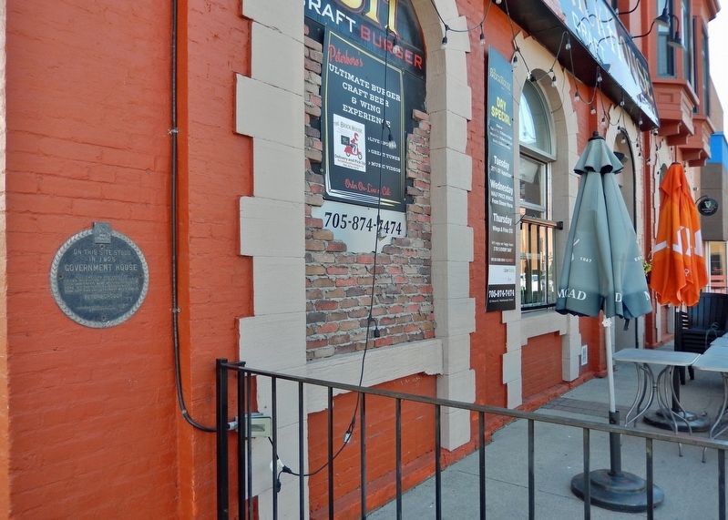
Government House Site Marker
SHOWN IN SOURCE-SPECIFIED ORDER
1 ► Ontario, Peterborough County, Peterborough — Government House Site — 1825 —
On Water Street at Simcoe Street, on the right when traveling north on Water Street.
On this site stood in 1825 Government House Log dwelling and office of Peter Robinson. In that year, 2,204 Irish immigrants were assisted in settling here by the British Government. From that time the settlement was known as . . . — — Map (db m260794) HM
2 ► Ontario, Peterborough County, Peterborough — The Robinson Settlement — 1825 —
On Water Street just north of Brock Street, on the right when traveling north.
In an effort to alleviate poverty and unemployment in Ireland, the British government in 1825 sponsored a settlement of Irish emigrants in the Newcastle District of Upper Canada. Peter Robinson, later that province's Commissioner of Crown Lands, . . . — — Map (db m260695) HM
3 ► Ontario, Peterborough County, Peterborough — The Cathedral of St. Peter-in-Chains / La cathedrale de St. Peter-in-Chains —
On Hunter Street West just east of Reid Street, on the left when traveling east.
[English]  The parish of St. Peter-in-Chains was established in 1826 to serve the large Irish Catholic population of the surrounding Robinson Settlement. This building, erected in 1837-38 of stone from nearby . . . — — Map (db m260697) HM


CeraNet Cloud Computing sponsors the Historical Marker Database.
This website earns income from purchases you make after using our links to Amazon.com. We appreciate your support.
Paid Advertisement
Oct. 9, 2026
